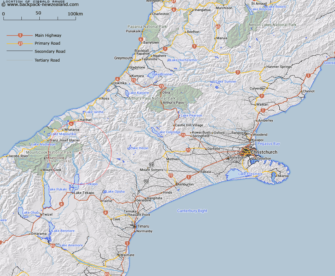
Map showing location of Sibbald Range


LINZ description: Mountain range extending south from Mount Forbes between the Godley and Macauley Rivers, through Mounts Sibbald and Erebus to the Sibbald Knobs. Godley Survey District.
Latitude: -43.53377
Longitude: 170.572119
Northing: 5177044.4
Easting: 1403825.9
Land District: Canterbury
Feat Type: Range


Scroll down to see a more detailed road map and below that a topographical map showing the location of Sibbald Range. The road map has been supplied by openstreetmap and the topographical map of Sibbald Range has been supplied by Land Information New Zealand (LINZ).

Yes you can use the top static map for you school/university project or personal website with a link back. Contact me for any commercial use.

Sibbald Range Map New Zealand


New Zealand places in our database
[ A ] [ B ] [ C ] [ D ] [ E ] [ F ] [ G ] [ H ] [ I ] [ J ] [ K ] [ L ] [ M ] [ N ] [ O ] [ P ] [ Q ] [ R ] [ S ] [ T ] [ U ] [ V ] [ W ] [ X ] [ Y ] [ Z ]


Closest 20 Ranges to Sibbald Range

Two Thumb Range ( 8.68km )   Brabazon Range ( 16.58km )   Butler Range ( 17.33km )   Cloudy Peak Range ( 18.74km )   Southern Alps ( 19.2km )   Southern Alps/K? Tiritiri o te Moana ( 19.2km )   Black Mountain Range ( 19.78km )   Maximilian Range ( 20.11km )   Hall Range ( 20.97km )   Liebig Range ( 23.95km )   Sinclair Range ( 24.7km )   Price Range ( 26.07km )   Tatare Ridge ( 26.55km )   Tatare Range ( 26.55km )   Malte Brun Range ( 27.76km )   Burnett Range ( 28.02km )   Gamack Range ( 28.02km )   Froude Range ( 28.89km )   Potts Range ( 29.1km )   Armoury Range ( 30.33km )   Burster Range ( 30.36km )   Wilberg Range ( 30.56km )   Willberg Range ( 30.56km )   Baird Range ( 30.87km )   Haszard Ridge ( 31.71km )   Adams Range ( 31.87km )   Jollie Range ( 32.66km )   Speculation Range ( 33.89km )   Fritz Range ( 34.36km )   Dogs Range ( 34.46km )   Sherwood Range ( 34.46km )   Ben Mcleod Range ( 34.86km )   Big Hill Range ( 36.09km )   Victoria Range ( 36.62km )   Richmond Range ( 36.76km )   Fox Range ( 37.7km )   Arrowsmith Range ( 37.71km )   Kirikirikatata / Mount Cook Range ( 37.84km )   Mount Cook Range ( 37.84km )   Lord Range ( 38.08km )