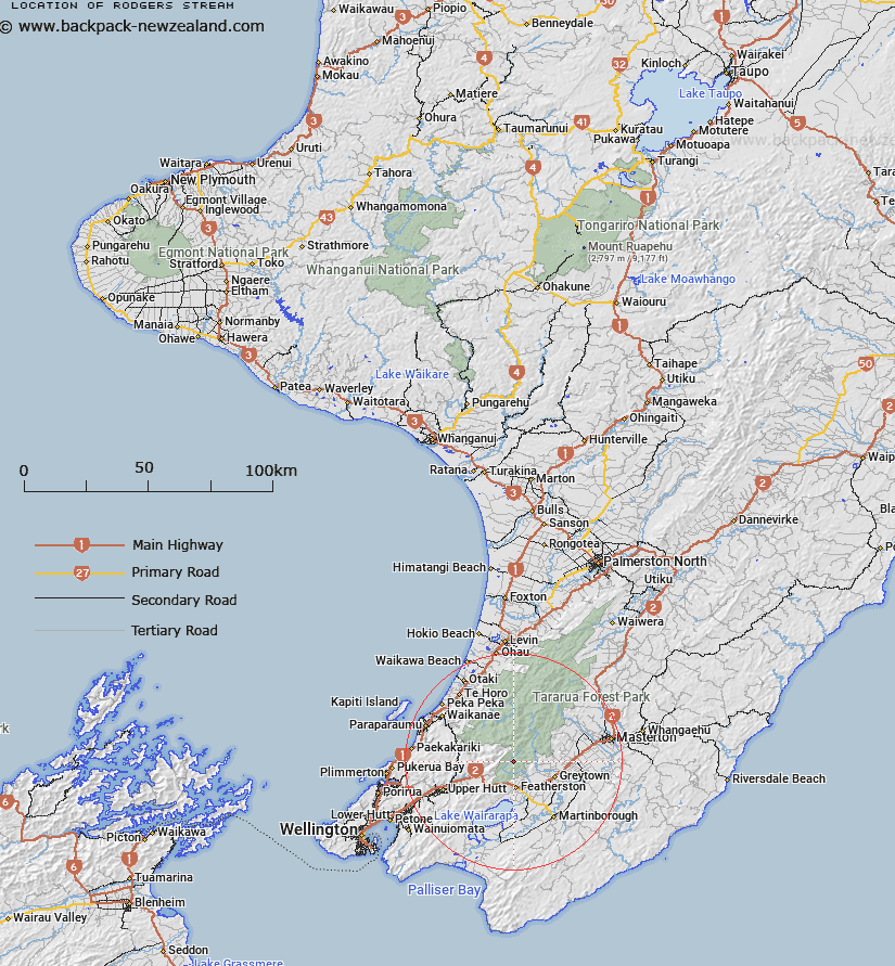
Map showing location of Rodgers Stream
LINZ description: Right Bank tributary of Tauherenikau River rising 500m North of Tauherenikau Peak [Trig. U (Geodetic Code B4UT)], flowing generally North-westward and joining Tauherenikau River 1.8km Downstream of Tutuwai Stream. Block V, Waiohine Survey District
Latitude: -41.028355
Longitude: 175.31466
Northing: 5455514.3
Easting: 1794590.4
Land District: Wellington
Feat Type: Stream
Latitude: -41.028355
Longitude: 175.31466
Northing: 5455514.3
Easting: 1794590.4
Land District: Wellington
Feat Type: Stream

Scroll down to see a more detailed road map and below that a topographical map showing the location of Rodgers Stream. The road map has been supplied by openstreetmap and the topographical map of Rodgers Stream has been supplied by Land Information New Zealand (LINZ).
Yes you can use the top static map for you school/university project or personal website with a link back. Contact me for any commercial use.
[ A ] [ B ] [ C ] [ D ] [ E ] [ F ] [ G ] [ H ] [ I ] [ J ] [ K ] [ L ] [ M ] [ N ] [ O ] [ P ] [ Q ] [ R ] [ S ] [ T ] [ U ] [ V ] [ W ] [ X ] [ Y ] [ Z ]