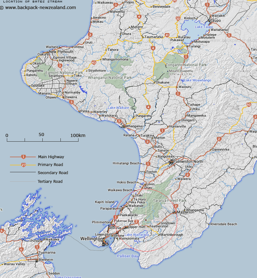
Map showing location of Bates Stream
LINZ description: Left bank tributary of Tauherenikau River rising 1.9km west by South-west of Tauherenikau Peak [Trig. U (Geodetic Code B4UT)], flowing North-westward and joining Tauherenikau River 2.3km upstream of Smith Creek. Block V, Waiohine Survey District.
Latitude: -41.040753
Longitude: 175.298249
Northing: 5454174.4
Easting: 1793174.4
Land District: Wellington
Feat Type: Stream
Latitude: -41.040753
Longitude: 175.298249
Northing: 5454174.4
Easting: 1793174.4
Land District: Wellington
Feat Type: Stream

Scroll down to see a more detailed road map and below that a topographical map showing the location of Bates Stream. The road map has been supplied by openstreetmap and the topographical map of Bates Stream has been supplied by Land Information New Zealand (LINZ).
Yes you can use the top static map for you school/university project or personal website with a link back. Contact me for any commercial use.
[ A ] [ B ] [ C ] [ D ] [ E ] [ F ] [ G ] [ H ] [ I ] [ J ] [ K ] [ L ] [ M ] [ N ] [ O ] [ P ] [ Q ] [ R ] [ S ] [ T ] [ U ] [ V ] [ W ] [ X ] [ Y ] [ Z ]