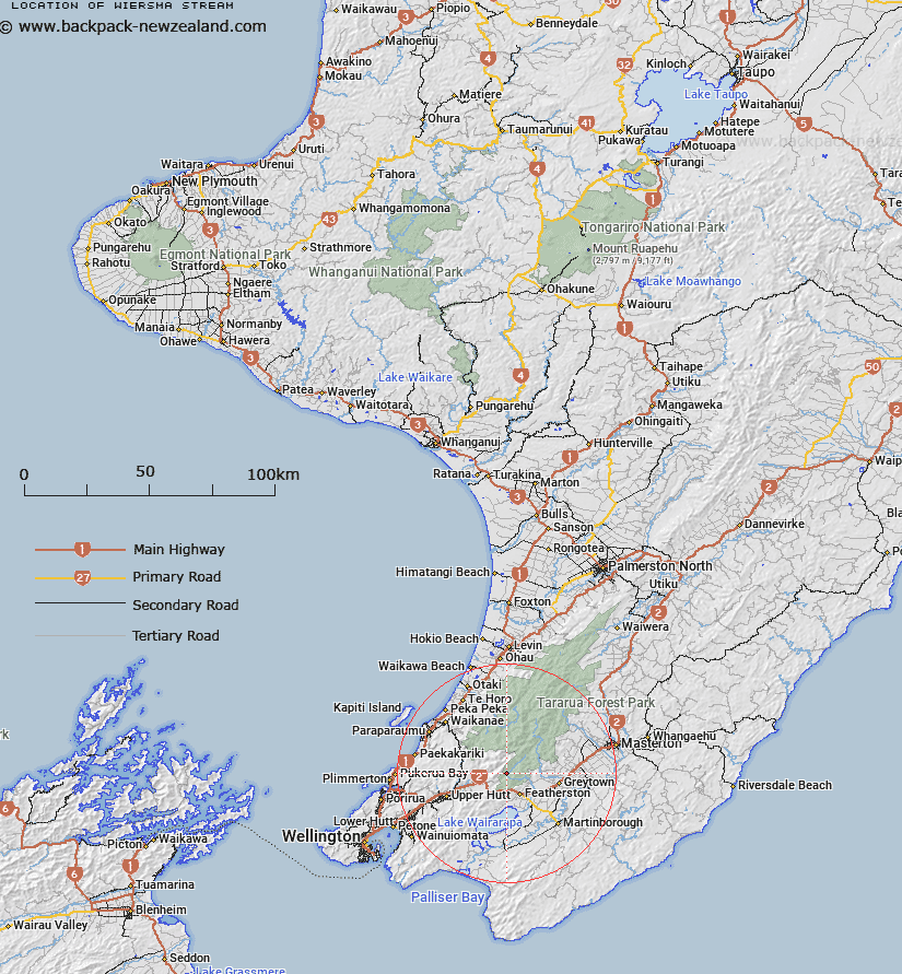
Map showing location of Wiersma Stream


LINZ description: Right bank tributary of Tauherenikau River 1.2km in length, flowing South-eastward and joining Tauherenikau River 600m upstream of Smith Creek. Block V, Eritonga Survey District
Latitude: -41.047153
Longitude: 175.276968
Northing: 5453510.7
Easting: 1791367
Land District: Wellington
Feat Type: Stream


Scroll down to see a more detailed road map and below that a topographical map showing the location of Wiersma Stream. The road map has been supplied by openstreetmap and the topographical map of Wiersma Stream has been supplied by Land Information New Zealand (LINZ).

Yes you can use the top static map for you school/university project or personal website with a link back. Contact me for any commercial use.

Wiersma Stream Map New Zealand


New Zealand places in our database
[ A ] [ B ] [ C ] [ D ] [ E ] [ F ] [ G ] [ H ] [ I ] [ J ] [ K ] [ L ] [ M ] [ N ] [ O ] [ P ] [ Q ] [ R ] [ S ] [ T ] [ U ] [ V ] [ W ] [ X ] [ Y ] [ Z ]


Closest 20 Streams to Wiersma Stream

Canyon Creek ( 0.62km )   Marchant Stream ( 0.83km )   Fell Creek ( 1.02km )   Shepperds Stream ( 1.66km )   Bates Stream ( 1.92km )   Boulder Stream ( 2.3km )   Fan Stream ( 2.73km )   Blue Rock Stream ( 3.01km )   Tauwharenikau River ( 3.07km )   Tauherenikau River ( 3.07km )   Smith Creek ( 3.38km )   Eastern Hutt River ( 3.66km )   Rodgers Stream ( 3.79km )   Phillips Stream ( 4.05km )   Kotukutuku Stream ( 4.19km )   Slip Stream ( 4.66km )   Gorge Stream ( 4.73km )   Quoin Stream ( 4.84km )   Farm Creek ( 5.21km )   Tutuwai Stream ( 5.73km )   Omega Creek ( 5.92km )   Puffer Creek ( 6.26km )   Abbots Creek ( 6.63km )   Western Hutt River ( 6.78km )   Boar Creek ( 6.89km )   Taits Stream ( 6.95km )   Reeves Stream ( 6.97km )   Bull Mound Creek ( 7.3km )   Rimutaka Stream ( 8.17km )   Remutaka Stream ( 8.17km )   Coal Stream ( 8.86km )   Pukeruru Stream ( 8.98km )   Kerekere Stream ( 9.19km )   Sunny Stream ( 9.22km )   Kaitoke Stream ( 9.41km )   Mangaroa Creek ( 9.41km )   Prince Stream ( 9.43km )   Josephson Creek ( 9.95km )   Putaputa Stream ( 10.47km )   Owhanga Stream ( 10.59km )