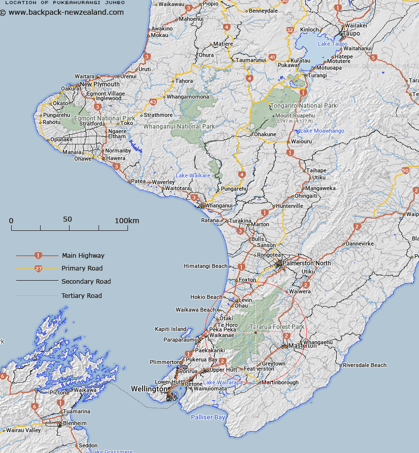
Map showing location of Pukeahurangi / Jumbo
LINZ description: A hill at 1405m in Tararua Range approximately 3km northeast of Mount Holdsworth. Feature shown on: NZMS260 S26 Edition 2 1993; Reprinted 1994; NZTopo50-BP34 048747
Latitude: -40.852694
Longitude: 175.429722
Northing: 5474753.6
Easting: 1804806.6
Land District: Wellington
Feat Type: Hill
Latitude: -40.852694
Longitude: 175.429722
Northing: 5474753.6
Easting: 1804806.6
Land District: Wellington
Feat Type: Hill

Scroll down to see a more detailed road map and below that a topographical map showing the location of Pukeahurangi / Jumbo. The road map has been supplied by openstreetmap and the topographical map of Pukeahurangi / Jumbo has been supplied by Land Information New Zealand (LINZ).
Yes you can use the top static map for you school/university project or personal website with a link back. Contact me for any commercial use.
[ A ] [ B ] [ C ] [ D ] [ E ] [ F ] [ G ] [ H ] [ I ] [ J ] [ K ] [ L ] [ M ] [ N ] [ O ] [ P ] [ Q ] [ R ] [ S ] [ T ] [ U ] [ V ] [ W ] [ X ] [ Y ] [ Z ]