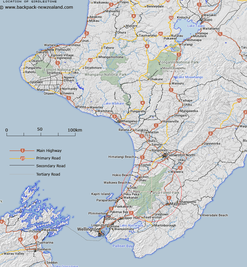
Map showing location of Girdlestone
LINZ description: A 1546m peak immediately west of Mitre (the highest peak in the Tararua Range). The highest point of Tarn Ridge
Feature shown on: NZMS260 S25 Pt R25 Edition 2 1995, NZTopo50-BN34 061810
Latitude: -40.796472
Longitude: 175.443417
Northing: 5480963.3
Easting: 1806135.2
Land District: Wellington
Feat Type: Hill
Latitude: -40.796472
Longitude: 175.443417
Northing: 5480963.3
Easting: 1806135.2
Land District: Wellington
Feat Type: Hill

Scroll down to see a more detailed road map and below that a topographical map showing the location of Girdlestone. The road map has been supplied by openstreetmap and the topographical map of Girdlestone has been supplied by Land Information New Zealand (LINZ).
Yes you can use the top static map for you school/university project or personal website with a link back. Contact me for any commercial use.
[ A ] [ B ] [ C ] [ D ] [ E ] [ F ] [ G ] [ H ] [ I ] [ J ] [ K ] [ L ] [ M ] [ N ] [ O ] [ P ] [ Q ] [ R ] [ S ] [ T ] [ U ] [ V ] [ W ] [ X ] [ Y ] [ Z ]