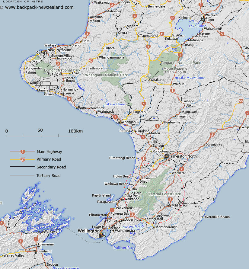
Map showing location of Mitre
LINZ description: A hill at 1571m, approximately 23km northwest of Masterton being the highest point in Tararua Range. Feature shown on: NZMS260 S25 Pt R25 Edition 2 1995; NZTopo50-BN34 073807.
Latitude: -40.798028
Longitude: 175.457556
Northing: 5480757.2
Easting: 1807323.2
Land District: Wellington
Feat Type: Hill
Latitude: -40.798028
Longitude: 175.457556
Northing: 5480757.2
Easting: 1807323.2
Land District: Wellington
Feat Type: Hill

Scroll down to see a more detailed road map and below that a topographical map showing the location of Mitre. The road map has been supplied by openstreetmap and the topographical map of Mitre has been supplied by Land Information New Zealand (LINZ).
Yes you can use the top static map for you school/university project or personal website with a link back. Contact me for any commercial use.
[ A ] [ B ] [ C ] [ D ] [ E ] [ F ] [ G ] [ H ] [ I ] [ J ] [ K ] [ L ] [ M ] [ N ] [ O ] [ P ] [ Q ] [ R ] [ S ] [ T ] [ U ] [ V ] [ W ] [ X ] [ Y ] [ Z ]