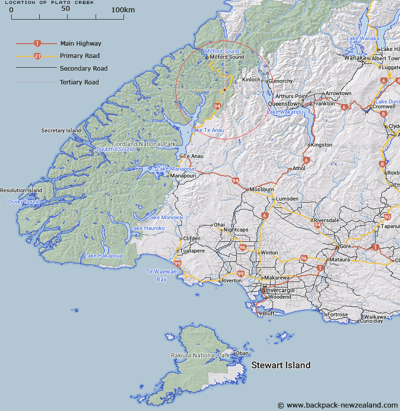
Map showing location of Plato Creek


LINZ description: Tributary of Eglinton River. Joining the Eglinton River on the right bank 900m north of Mistake Creek, and 2.3km south of Cascade Creek
Latitude: -44.914547
Longitude: 168.057152
Northing: 5014645.3
Easting: 1209847.6
Land District: Southland
Feat Type: Stream


Scroll down to see a more detailed road map and below that a topographical map showing the location of Plato Creek. The road map has been supplied by openstreetmap and the topographical map of Plato Creek has been supplied by Land Information New Zealand (LINZ).

Yes you can use the top static map for you school/university project or personal website with a link back. Contact me for any commercial use.

Plato Creek Map New Zealand


New Zealand places in our database
[ A ] [ B ] [ C ] [ D ] [ E ] [ F ] [ G ] [ H ] [ I ] [ J ] [ K ] [ L ] [ M ] [ N ] [ O ] [ P ] [ Q ] [ R ] [ S ] [ T ] [ U ] [ V ] [ W ] [ X ] [ Y ] [ Z ]


Closest 20 Streams to Plato Creek

Cascade Creek ( 3.46km )   Mistake Creek ( 4.23km )   Waterfall Creek ( 4.27km )   Hut Creek ( 4.29km )   Smithy Creek ( 4.63km )   Melita Stream ( 6.23km )   Murcott Burn ( 6.66km )   Eglinton River West Branch ( 6.87km )   Duck Creek ( 7.61km )   Glade Burn ( 8.03km )   Kiosk Creek ( 8.39km )   McKellar Branch;Greenstone River ( 8.43km )   Falls Creek ( 8.83km )   Eglinton River East Branch ( 9.48km )   Wesney Creek ( 10.38km )   Disappointment Creek ( 10.53km )   Windfall Creek ( 11.03km )   Mararoa River ( 11.88km )   Nurse Creek ( 12.17km )   Clinton River ( 12.22km )   Divide Creek ( 12.33km )   Steele Creek ( 12.47km )   Caples River ( 12.58km )   Hen Burn ( 12.66km )   Marian Creek ( 12.94km )   Monkey Creek ( 13.03km )   Pass Creek ( 13.4km )   Black Creek ( 13.91km )   Sunny Creek ( 14.8km )   Neale Burn ( 14.92km )   Cirque Creek ( 15.2km )   Greenstone River ( 15.74km )   Indecision Creek ( 15.75km )   Slip Stream ( 15.88km )   Talc Creek ( 16.24km )   Annear Creek ( 16.54km )   Reids Creek ( 16.76km )   Fraser Creek ( 17.08km )   Homers River ( 17.23km )   Roaring Creek ( 17.32km )