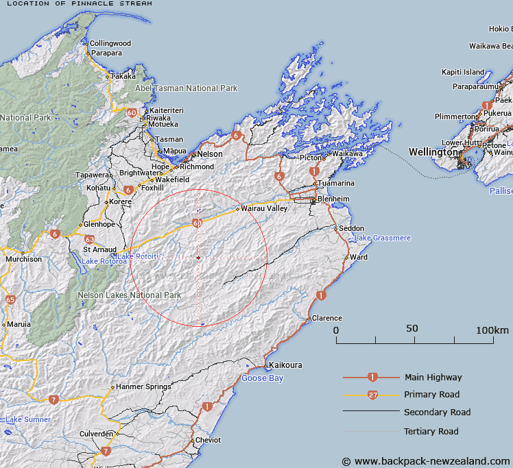
Map showing location of Pinnacle Stream
LINZ description: Left bank tributary of Waihopai River rising on the eastern slopes of Pinnacle Peak, flowing generally eastward and joining Waihopai River above Garden Flat, 2km downstream from Glazebrook Stream. Blocks I, Spray Survey District and XII, Leatham Survey District.
Latitude: -41.828168
Longitude: 173.311509
Northing: 5369255
Easting: 1625867.8
Land District: Marlborough
Feat Type: Stream
Latitude: -41.828168
Longitude: 173.311509
Northing: 5369255
Easting: 1625867.8
Land District: Marlborough
Feat Type: Stream

Scroll down to see a more detailed road map and below that a topographical map showing the location of Pinnacle Stream. The road map has been supplied by openstreetmap and the topographical map of Pinnacle Stream has been supplied by Land Information New Zealand (LINZ).
Yes you can use the top static map for you school/university project or personal website with a link back. Contact me for any commercial use.
[ A ] [ B ] [ C ] [ D ] [ E ] [ F ] [ G ] [ H ] [ I ] [ J ] [ K ] [ L ] [ M ] [ N ] [ O ] [ P ] [ Q ] [ R ] [ S ] [ T ] [ U ] [ V ] [ W ] [ X ] [ Y ] [ Z ]