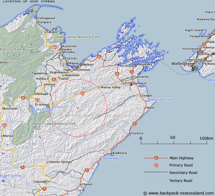
Map showing location of Whip Stream


LINZ description: Left bank tributary of Boulder Stream rising 1.4km North of Trig. RS (Geodetic Code A44F), flowing North-eastward and joining Boulder Stream 850m downstream of Krushen Stream. Block XI, Leatham Survey District.
Latitude: -41.828137
Longitude: 173.242418
Northing: 5369276.8
Easting: 1620130.4
Land District: Marlborough
Feat Type: Stream


Scroll down to see a more detailed road map and below that a topographical map showing the location of Whip Stream. The road map has been supplied by openstreetmap and the topographical map of Whip Stream has been supplied by Land Information New Zealand (LINZ).

Yes you can use the top static map for you school/university project or personal website with a link back. Contact me for any commercial use.

Whip Stream Map New Zealand


New Zealand places in our database
[ A ] [ B ] [ C ] [ D ] [ E ] [ F ] [ G ] [ H ] [ I ] [ J ] [ K ] [ L ] [ M ] [ N ] [ O ] [ P ] [ Q ] [ R ] [ S ] [ T ] [ U ] [ V ] [ W ] [ X ] [ Y ] [ Z ]


Closest 20 Streams to Whip Stream

Krushen Stream ( 1.5km )   Cave Stream ( 2.29km )   McCallum Stream ( 3.72km )   Little Cave Stream ( 4.07km )   Goosey Stream ( 4.82km )   Bobs Stream ( 5.46km )   Cow Stream ( 5.58km )   Pinnacle Stream ( 5.72km )   Waterfall Stream ( 6.09km )   Boulder Stream ( 6.29km )   Noisy Stream ( 6.43km )   Weka Stream ( 6.53km )   Barber Stream ( 6.9km )   Tommy Stream ( 8.48km )   Station Creek ( 8.64km )   Blue Mountain Stream ( 9.58km )   May Stream ( 9.79km )   Alan Stream ( 9.94km )   Leatham River ( 9.99km )   Glazebrook Stream ( 10.03km )   Henry Stream ( 10.06km )   Wild Pup Stream ( 10.32km )   Greig Stream ( 10.87km )   Boundary Stream ( 11.01km )   Wildsheep Stream ( 11.32km )   Spaniard Stream ( 11.45km )   Waihopai Saddle Stream ( 11.54km )   Stans Creek ( 11.62km )   Branch River ( 12.35km )   Gordon Stream ( 12.51km )   Hand Setting Stream ( 12.91km )   Gosling Stream ( 13km )   Scott Stream ( 13.25km )   Goat Stream ( 13.43km )   Silverstream ( 13.53km )   Hut Stream ( 13.56km )   Nesbits Creek ( 13.57km )   Shingley Stream ( 13.72km )   Spray River ( 14.18km )   Fuchsia Stream ( 14.41km )