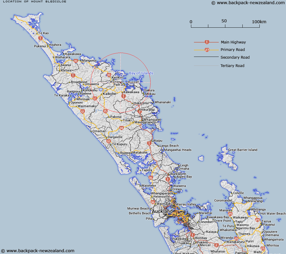
Map showing location of Mount Bledisloe
LINZ description: Hill, 105m, above Huia Creek, near the corner of Haruru Falls Road, Te Puke Road, and Bledisloe Road, Bay Of Islands. Kawakawa Survey District.
Latitude: -35.260775
Longitude: 174.048674
Northing: 6097533.3
Easting: 1695390.5
Land District: North Auckland
Feat Type: Hill
Latitude: -35.260775
Longitude: 174.048674
Northing: 6097533.3
Easting: 1695390.5
Land District: North Auckland
Feat Type: Hill

Scroll down to see a more detailed road map and below that a topographical map showing the location of Mount Bledisloe. The road map has been supplied by openstreetmap and the topographical map of Mount Bledisloe has been supplied by Land Information New Zealand (LINZ).
Yes you can use the top static map for you school/university project or personal website with a link back. Contact me for any commercial use.
[ A ] [ B ] [ C ] [ D ] [ E ] [ F ] [ G ] [ H ] [ I ] [ J ] [ K ] [ L ] [ M ] [ N ] [ O ] [ P ] [ Q ] [ R ] [ S ] [ T ] [ U ] [ V ] [ W ] [ X ] [ Y ] [ Z ]