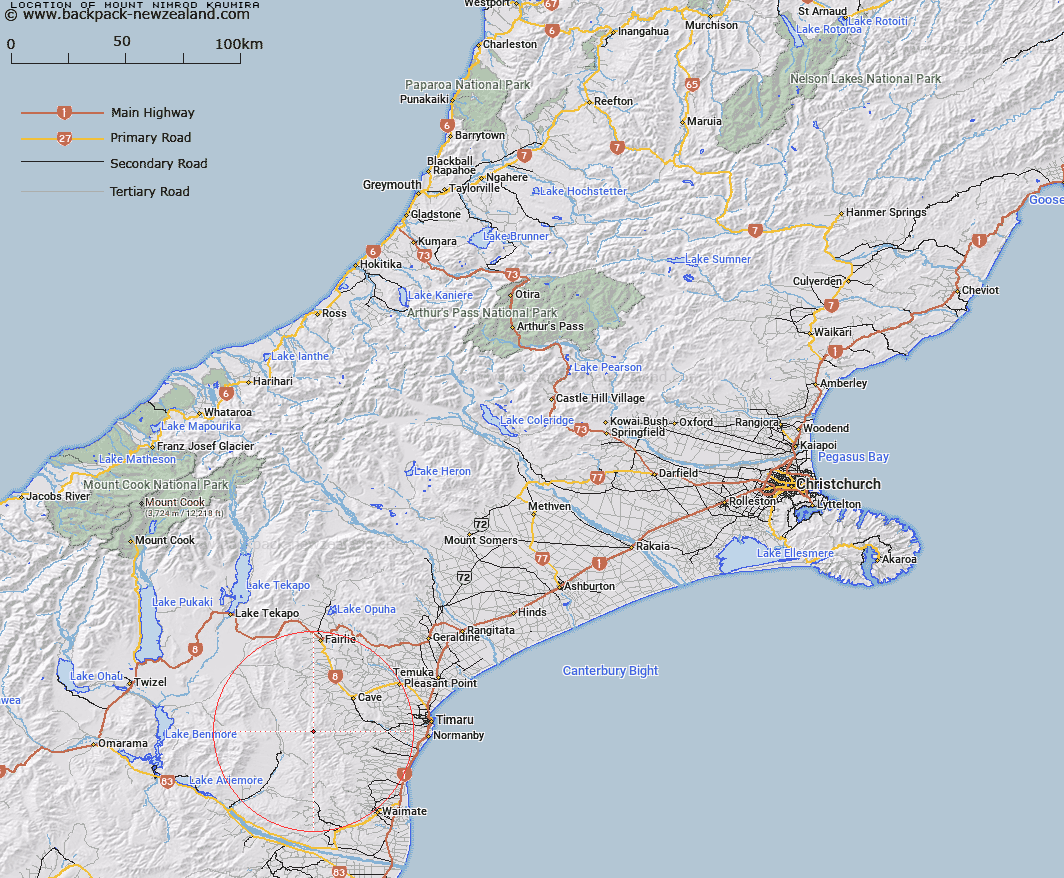
Map showing location of Mount Nimrod/Kaumira


LINZ description: Feature shown on: NZMS260-J39 350390; NZTopo50-CA18 250773;
Latitude: -44.436149
Longitude: 170.802038
Northing: 5077333.5
Easting: 1425075.4
Land District: Canterbury
Feat Type: Hill


Scroll down to see a more detailed road map and below that a topographical map showing the location of Mount Nimrod/Kaumira. The road map has been supplied by openstreetmap and the topographical map of Mount Nimrod/Kaumira has been supplied by Land Information New Zealand (LINZ).

Yes you can use the top static map for you school/university project or personal website with a link back. Contact me for any commercial use.
Mount Nimrod/Kaumira Map New Zealand


New Zealand places in our database
[ A ] [ B ] [ C ] [ D ] [ E ] [ F ] [ G ] [ H ] [ I ] [ J ] [ K ] [ L ] [ M ] [ N ] [ O ] [ P ] [ Q ] [ R ] [ S ] [ T ] [ U ] [ V ] [ W ] [ X ] [ Y ] [ Z ]


Closest 20 Hills to Mount Nimrod/Kaumira

Mount Nimrod/Kaumira ( 0km )   Mount Nimrod ( 0km )   Te Huruhuru ( 6.79km )   Mount Airini ( 6.8km )   Mount Nessing ( 12.38km )   Round Hill ( 14.17km )   Mount Smith ( 14.24km )   Green Hill ( 14.25km )   Mount Blyth ( 14.83km )   Mount MacGregor ( 16.3km )   Mount Florence ( 17.23km )   Cave Hill ( 17.62km )   Mount Cecil ( 19.08km )   Mount Sydney ( 20.17km )   Mount Horrible ( 20.66km )   Macleod ( 21.35km )   Mount Dalgety ( 21.89km )   Mount Studholme ( 24.43km )   Mount Kirkliston ( 25.76km )   Lothian ( 26.92km )   Campbell Hills ( 27.29km )   Mount Shrives ( 28.28km )   Mount Milne ( 28.45km )   Mount Gay ( 30.01km )   Mount Sutton ( 31.95km )   Pudding Hill ( 34.36km )   Tara ( 35.27km )   Mount Orr ( 36.97km )   Potato Pit Hill ( 37.58km )   Beacon Hill ( 37.98km )   Brown Hill ( 37.98km )   Round Hill ( 38km )   Mount Ellen ( 38.45km )   Mount Dryburgh ( 39.04km )   Hogget Hill ( 39.2km )   Kakahu Hill ( 39.29km )   Station Peak ( 39.73km )   Mussen ( 39.89km )   Elephant Hill ( 40.44km )   Meyer ( 40.5km )