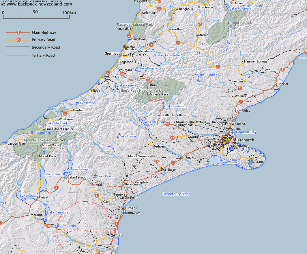
Map showing location of Campbell Hills
LINZ description: Range of hills between the Hakataramea and Waihao Rivers, and extending from Station Peak [Trig. (Geodetic Code A905)] in the South, to Trig. Station U (Geodetic Code AAHM) in the North. Nimrod, Waihao, and Hakataramea Survey Districts.
Latitude: -44.677015
Longitude: 170.736047
Northing: 5050434.9
Easting: 1420565.6
Land District: Canterbury
Feat Type: Hill
Latitude: -44.677015
Longitude: 170.736047
Northing: 5050434.9
Easting: 1420565.6
Land District: Canterbury
Feat Type: Hill

Scroll down to see a more detailed road map and below that a topographical map showing the location of Campbell Hills. The road map has been supplied by openstreetmap and the topographical map of Campbell Hills has been supplied by Land Information New Zealand (LINZ).
Yes you can use the top static map for you school/university project or personal website with a link back. Contact me for any commercial use.
[ A ] [ B ] [ C ] [ D ] [ E ] [ F ] [ G ] [ H ] [ I ] [ J ] [ K ] [ L ] [ M ] [ N ] [ O ] [ P ] [ Q ] [ R ] [ S ] [ T ] [ U ] [ V ] [ W ] [ X ] [ Y ] [ Z ]