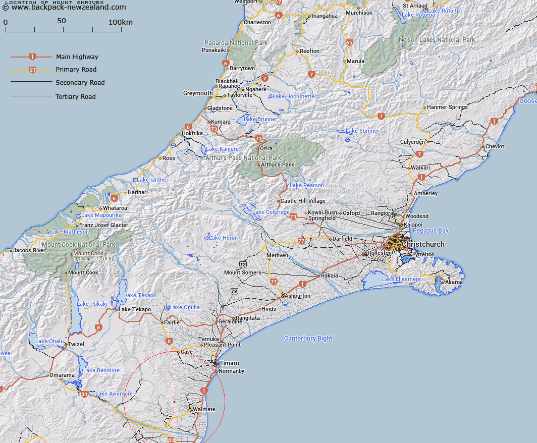
Map showing location of Mount Shrives


LINZ description: Peak situated in the Hunters Hills just south of Mount Studholme at the head of Waimate Creek.
Latitude: -44.675119
Longitude: 170.924219
Northing: 5051042.8
Easting: 1435474.3
Land District: Canterbury
Feat Type: Hill


Scroll down to see a more detailed road map and below that a topographical map showing the location of Mount Shrives. The road map has been supplied by openstreetmap and the topographical map of Mount Shrives has been supplied by Land Information New Zealand (LINZ).

Yes you can use the top static map for you school/university project or personal website with a link back. Contact me for any commercial use.

Mount Shrives Map New Zealand


New Zealand places in our database
[ A ] [ B ] [ C ] [ D ] [ E ] [ F ] [ G ] [ H ] [ I ] [ J ] [ K ] [ L ] [ M ] [ N ] [ O ] [ P ] [ Q ] [ R ] [ S ] [ T ] [ U ] [ V ] [ W ] [ X ] [ Y ] [ Z ]


Closest 20 Hills to Mount Shrives

Mount Studholme ( 3.86km )   Mount Cecil ( 10.13km )   Lothian ( 10.41km )   Pudding Hill ( 10.43km )   Mount Ellen ( 10.63km )   Round Hill ( 11.12km )   Macleod ( 11.91km )   Mount Blyth ( 13.46km )   Campbell Hills ( 14.88km )   Elephant Hill ( 16.55km )   Mussen ( 17.43km )   Green Hill ( 17.88km )   Mount Florence ( 19.54km )   Tara ( 19.67km )   Mount Welsh ( 20.95km )   Mount Airini ( 21.53km )   Mount Sydney ( 21.92km )   Mount Parker ( 23.83km )   Mount Orr ( 24.63km )   Meyer ( 26.96km )   Koakam Hill ( 27.95km )   Camp Hill ( 28.24km )   Mount Nimrod/Kaumira ( 28.28km )   Mount Nimrod ( 28.28km )   Station Peak ( 29.54km )   Rams Head ( 30.37km )   Black Hill ( 32.03km )   Mount Horrible ( 32.31km )   Fortification Hill ( 32.84km )   Round Hill ( 33.8km )   Cave Hill ( 34km )   Big Hill ( 34.15km )   Te Huruhuru ( 34.43km )   Mount Kirkliston ( 35.37km )   Mount Milne ( 35.43km )   Cliffords Table ( 35.6km )   Basalt Hill ( 35.87km )   Survey Peak ( 37.11km )   Table Top Hill ( 37.81km )   Pukekarara ( 38.18km )