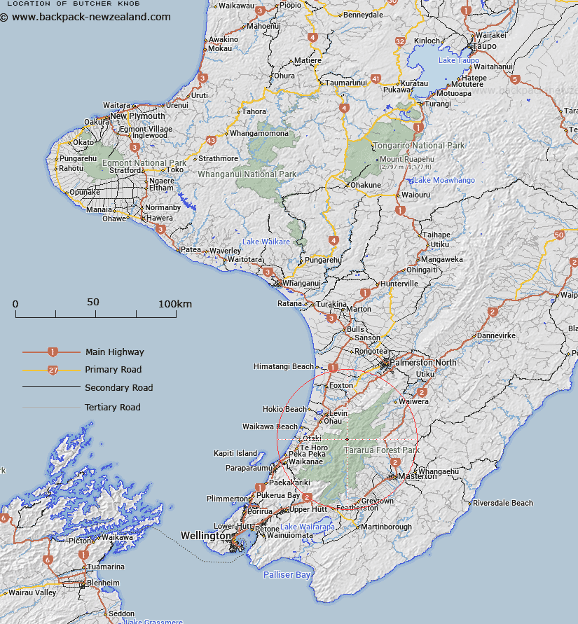
Map showing location of Butcher Knob
LINZ description: Peak on the Main Tararua Range, approximately 2.1km south-west of Pukematawai Peak. Block XV Waiopehu Survey District.
Latitude: -40.753303
Longitude: 175.40268
Northing: 5485850.9
Easting: 1802829.5
Land District: Wellington
Feat Type: Hill
Latitude: -40.753303
Longitude: 175.40268
Northing: 5485850.9
Easting: 1802829.5
Land District: Wellington
Feat Type: Hill

Scroll down to see a more detailed road map and below that a topographical map showing the location of Butcher Knob. The road map has been supplied by openstreetmap and the topographical map of Butcher Knob has been supplied by Land Information New Zealand (LINZ).
Yes you can use the top static map for you school/university project or personal website with a link back. Contact me for any commercial use.
[ A ] [ B ] [ C ] [ D ] [ E ] [ F ] [ G ] [ H ] [ I ] [ J ] [ K ] [ L ] [ M ] [ N ] [ O ] [ P ] [ Q ] [ R ] [ S ] [ T ] [ U ] [ V ] [ W ] [ X ] [ Y ] [ Z ]