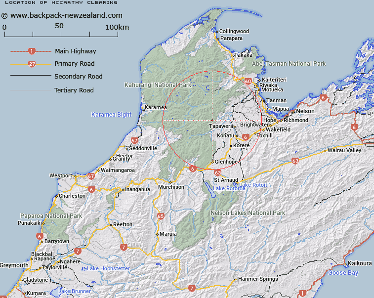
Map showing location of McCarthy Clearing
LINZ description: Bush clearing 1.5km North-east of the head of McCarthy Creek, tributary of Baton River. Block VI Wangapeka Survey District.
Latitude: -41.337689
Longitude: 172.648506
Northing: 5423695.6
Easting: 1570590.2
Land District: Nelson
Feat Type: Clearing
Latitude: -41.337689
Longitude: 172.648506
Northing: 5423695.6
Easting: 1570590.2
Land District: Nelson
Feat Type: Clearing

Scroll down to see a more detailed road map and below that a topographical map showing the location of McCarthy Clearing. The road map has been supplied by openstreetmap and the topographical map of McCarthy Clearing has been supplied by Land Information New Zealand (LINZ).
Yes you can use the top static map for you school/university project or personal website with a link back. Contact me for any commercial use.
[ A ] [ B ] [ C ] [ D ] [ E ] [ F ] [ G ] [ H ] [ I ] [ J ] [ K ] [ L ] [ M ] [ N ] [ O ] [ P ] [ Q ] [ R ] [ S ] [ T ] [ U ] [ V ] [ W ] [ X ] [ Y ] [ Z ]