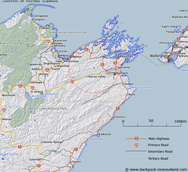
Map showing location of Fosters Clearing
LINZ description: Prominent clearing on the Richmond Range
Latitude: -41.431924
Longitude: 173.633151
Northing: 5413100
Easting: 1652900
Land District: Marlborough
Feat Type: Clearing
Latitude: -41.431924
Longitude: 173.633151
Northing: 5413100
Easting: 1652900
Land District: Marlborough
Feat Type: Clearing

Scroll down to see a more detailed road map and below that a topographical map showing the location of Fosters Clearing. The road map has been supplied by openstreetmap and the topographical map of Fosters Clearing has been supplied by Land Information New Zealand (LINZ).
Yes you can use the top static map for you school/university project or personal website with a link back. Contact me for any commercial use.
[ A ] [ B ] [ C ] [ D ] [ E ] [ F ] [ G ] [ H ] [ I ] [ J ] [ K ] [ L ] [ M ] [ N ] [ O ] [ P ] [ Q ] [ R ] [ S ] [ T ] [ U ] [ V ] [ W ] [ X ] [ Y ] [ Z ]