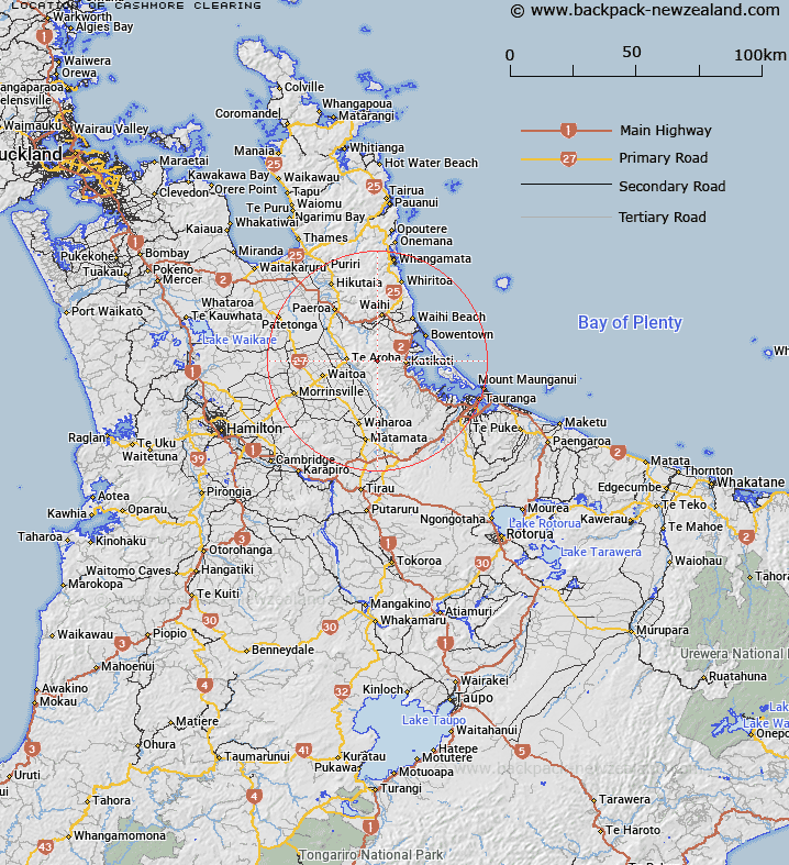
Map showing location of Cashmore Clearing
LINZ description: Bush clearing in Kaimai Mamaku Forest Park east of Te Aroha.
Latitude: -37.54982
Longitude: 175.817506
Northing: 5840400
Easting: 1848900
Land District: South Auckland
Feat Type: Clearing
Latitude: -37.54982
Longitude: 175.817506
Northing: 5840400
Easting: 1848900
Land District: South Auckland
Feat Type: Clearing

Scroll down to see a more detailed road map and below that a topographical map showing the location of Cashmore Clearing. The road map has been supplied by openstreetmap and the topographical map of Cashmore Clearing has been supplied by Land Information New Zealand (LINZ).
Yes you can use the top static map for you school/university project or personal website with a link back. Contact me for any commercial use.
[ A ] [ B ] [ C ] [ D ] [ E ] [ F ] [ G ] [ H ] [ I ] [ J ] [ K ] [ L ] [ M ] [ N ] [ O ] [ P ] [ Q ] [ R ] [ S ] [ T ] [ U ] [ V ] [ W ] [ X ] [ Y ] [ Z ]