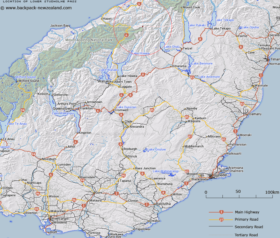
Map showing location of Lower Studholme Pass
LINZ description: The northernmost of two passes, Upper and Lower, at the headwaters of the Hunter River in the Southern Alps/Kā Tiritiri o te Moana. On the ridge between Hassing Peak and Watkins Dome.
Latitude: -43.97401
Longitude: 169.585959
Northing: 5125345.6
Easting: 1326156.8
Land District: Otago, Westland
Feat Type: Pass
Latitude: -43.97401
Longitude: 169.585959
Northing: 5125345.6
Easting: 1326156.8
Land District: Otago, Westland
Feat Type: Pass

Scroll down to see a more detailed road map and below that a topographical map showing the location of Lower Studholme Pass. The road map has been supplied by openstreetmap and the topographical map of Lower Studholme Pass has been supplied by Land Information New Zealand (LINZ).
Yes you can use the top static map for you school/university project or personal website with a link back. Contact me for any commercial use.
[ A ] [ B ] [ C ] [ D ] [ E ] [ F ] [ G ] [ H ] [ I ] [ J ] [ K ] [ L ] [ M ] [ N ] [ O ] [ P ] [ Q ] [ R ] [ S ] [ T ] [ U ] [ V ] [ W ] [ X ] [ Y ] [ Z ]