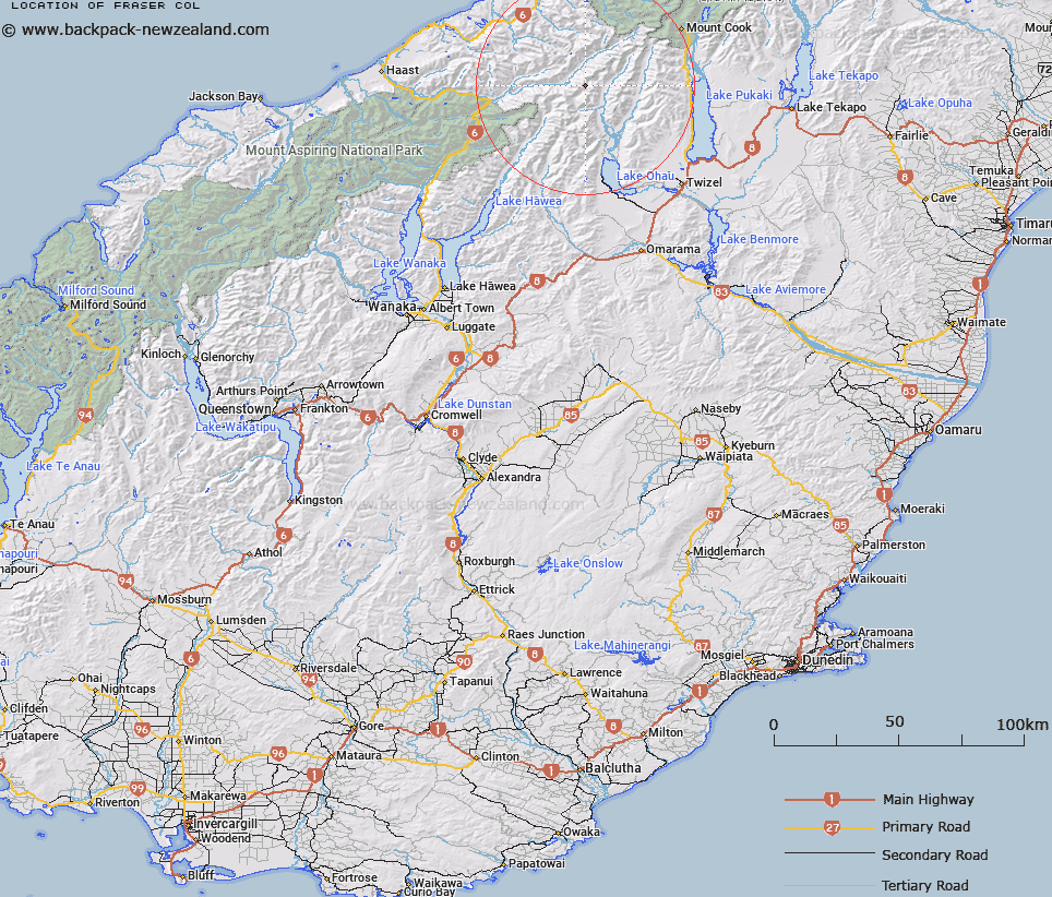
Map showing location of Fraser Col


LINZ description: Pass just north of Mount Fraser in the Southern Alps. Block XV Landsborough And Block VIII Ward Survey Districts.
Latitude: -43.929258
Longitude: 169.758695
Northing: 5130875.7
Easting: 1339817.3
Land District: Otago, Westland
Feat Type: Pass


Scroll down to see a more detailed road map and below that a topographical map showing the location of Fraser Col. The road map has been supplied by openstreetmap and the topographical map of Fraser Col has been supplied by Land Information New Zealand (LINZ).

Yes you can use the top static map for you school/university project or personal website with a link back. Contact me for any commercial use.

Fraser Col Map New Zealand


New Zealand places in our database
[ A ] [ B ] [ C ] [ D ] [ E ] [ F ] [ G ] [ H ] [ I ] [ J ] [ K ] [ L ] [ M ] [ N ] [ O ] [ P ] [ Q ] [ R ] [ S ] [ T ] [ U ] [ V ] [ W ] [ X ] [ Y ] [ Z ]


Closest 20 Passs to Fraser Col

Surveyors Col ( 1.63km )   Chloe Col ( 2.98km )   Brodrick Pass ( 4.58km )   Elcho Pass ( 7km )   Lower Otoko Pass ( 11.08km )   Harker Col ( 11.22km )   Upper Otoko Pass ( 11.54km )   Lower Studholme Pass ( 14.7km )   Upper Studholme Pass ( 15.21km )   Wilson Pass ( 15.27km )   V Notch Pass ( 17.11km )   Gunbarrel Pass ( 17.2km )   Gunsight Pass ( 17.2km )   Clarke Pass ( 17.76km )   Charity Col ( 18.99km )   Mueller Pass ( 19.17km )   Tragedy Col ( 19.96km )   Mockery Col ( 20.52km )   Wills Pass ( 21.55km )   Hope Col ( 22.41km )   Faith Col ( 22.61km )   Hardies Gut ( 26.27km )   Fyfe Pass ( 26.27km )   Barron Saddle ( 26.48km )   Karangarua Saddle ( 26.53km )   Bernard Col ( 27.56km )   Red Deer Col ( 28.27km )   Jamieson Saddle ( 28.29km )   Christopher Col ( 28.61km )   Douglas Pass ( 28.73km )   Sladden Saddle ( 29.09km )   Barrow Col ( 29.96km )   Twain Col ( 31.06km )   Wicks Col ( 32.25km )   Waihi Pass ( 32.35km )   Lucy Walker Pass ( 33.2km )   Brunner Col ( 33.33km )   New Year Pass ( 33.53km )   Flanagan Pass ( 33.82km )   Karangarua Pass ( 34.82km )