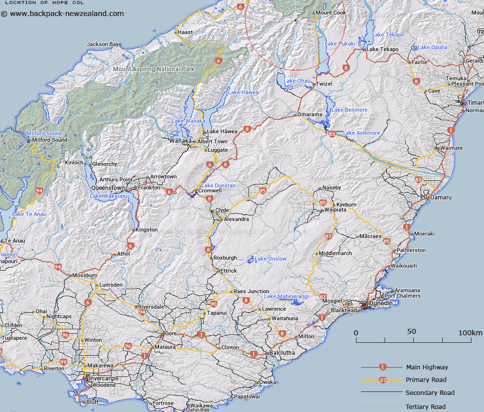
Map showing location of Hope Col


LINZ description: Col on Main Divide 300m northwest of Mouth Hopkins at the head of the Richardson Glacier.
Latitude: -43.789304
Longitude: 169.959753
Northing: 5147035
Easting: 1355385
Land District: Otago, Westland
Feat Type: Pass


Scroll down to see a more detailed road map and below that a topographical map showing the location of Hope Col. The road map has been supplied by openstreetmap and the topographical map of Hope Col has been supplied by Land Information New Zealand (LINZ).

Yes you can use the top static map for you school/university project or personal website with a link back. Contact me for any commercial use.

Hope Col Map New Zealand


New Zealand places in our database
[ A ] [ B ] [ C ] [ D ] [ E ] [ F ] [ G ] [ H ] [ I ] [ J ] [ K ] [ L ] [ M ] [ N ] [ O ] [ P ] [ Q ] [ R ] [ S ] [ T ] [ U ] [ V ] [ W ] [ X ] [ Y ] [ Z ]


Closest 20 Passs to Hope Col

Faith Col ( 1.56km )   Mockery Col ( 2.03km )   Charity Col ( 3.58km )   Tragedy Col ( 3.64km )   Hardies Gut ( 4.02km )   Barron Saddle ( 4.09km )   Fyfe Pass ( 4.12km )   Bernard Col ( 5.45km )   Christopher Col ( 6.34km )   Karangarua Saddle ( 6.83km )   Sladden Saddle ( 6.97km )   Jamieson Saddle ( 7.32km )   Douglas Pass ( 7.66km )   Barrow Col ( 7.97km )   Twain Col ( 8.73km )   Waihi Pass ( 10.02km )   Red Deer Col ( 10.08km )   Brunner Col ( 11.25km )   Mueller Pass ( 11.35km )   Wicks Col ( 12.6km )   Lucy Walker Pass ( 12.78km )   Karangarua Pass ( 13.39km )   Welcome Pass ( 13.39km )   Tuckett Col ( 14.15km )   New Year Pass ( 14.59km )   Elcho Pass ( 15.67km )   Fitzgerald Pass ( 18.01km )   Billiken Pass ( 18.16km )   Cow Block Saddle ( 18.42km )   Copland Pass ( 18.53km )   Upper Otoko Pass ( 19.45km )   Darkwater Saddle ( 19.81km )   Harker Col ( 19.84km )   Chloe Col ( 19.85km )   Surveyors Col ( 21.11km )   Cuttance Col ( 21.86km )   Lower Otoko Pass ( 21.93km )   Ball Pass ( 22.37km )   Fraser Col ( 22.41km )   Baker Saddle ( 22.69km )