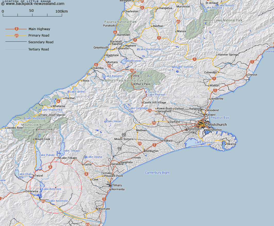
Map showing location of Little Range


LINZ description: Mountain range lying between Stony Stream and Preston River, 9 miles east of Lake Benmore. Highest point is Trig O 4158'
Latitude: -44.426521
Longitude: 170.427895
Northing: 5077534.7
Easting: 1395265.3
Land District: Canterbury
Feat Type: Range


Scroll down to see a more detailed road map and below that a topographical map showing the location of Little Range. The road map has been supplied by openstreetmap and the topographical map of Little Range has been supplied by Land Information New Zealand (LINZ).

Yes you can use the top static map for you school/university project or personal website with a link back. Contact me for any commercial use.

Little Range Map New Zealand


New Zealand places in our database
[ A ] [ B ] [ C ] [ D ] [ E ] [ F ] [ G ] [ H ] [ I ] [ J ] [ K ] [ L ] [ M ] [ N ] [ O ] [ P ] [ Q ] [ R ] [ S ] [ T ] [ U ] [ V ] [ W ] [ X ] [ Y ] [ Z ]


Closest 20 Ranges to Little Range

Big Range ( 2.29km )   Kirkliston Range ( 13.97km )   Grays Hills ( 16.76km )   Grampian Mountains ( 17.51km )   The Hunters Hills ( 24.04km )   Dalgety Range ( 25.27km )   Benmore Range ( 25.4km )   Chain Hills ( 32.38km )   Mary Range ( 33.39km )   Rollesby Range ( 34.58km )   Single Hill Range ( 35.56km )   Saint Cuthbert Range ( 36.44km )   Saint Marys Range ( 37.19km )   Albury Range ( 40.72km )   Little Rhoboro Hills ( 42.92km )   Ewe Range ( 44.94km )   Rhoboro Hills ( 47.52km )   Old Man Range ( 49.06km )   The Black Hills ( 49.41km )   Hawkdun Range ( 50.66km )   Diadem Range ( 52.59km )   Ohau Range ( 54.02km )   Wether Range ( 56.97km )   Dunstan Range ( 59.58km )   The Knobbies ( 60.39km )   Ida Range ( 62.6km )   Saint Bathans Range ( 62.69km )   Barrier Range ( 64.3km )   Idaburn Hills ( 65.15km )   Ben Ohau Range ( 65.25km )   Richmond Range ( 65.37km )   Chain Hills ( 67.63km )   Pisgah Spur ( 69.54km )   Naumann Range ( 69.82km )   Neumann Range ( 69.82km )   Haszard Ridge ( 70.05km )   Four Peaks Range ( 72.55km )   Low Claytons ( 73.63km )   Gidding Downs ( 74.07km )   Huxley Range ( 74.27km )