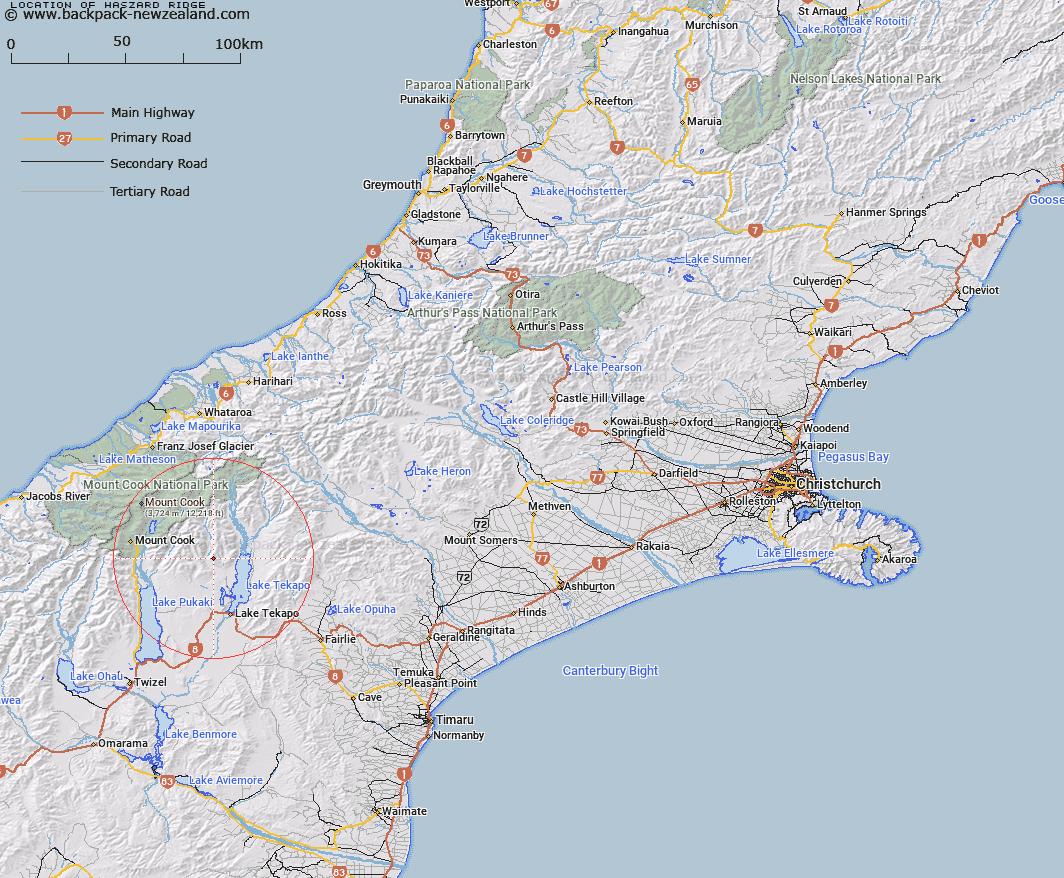
Map showing location of Haszard Ridge


LINZ description: The ridge commencing on the Hall Range at Mount Radove and extending in a southerly direction through Mount Haszard towards the Cass River. Blocks IV, IX, XIV and XIX Cass, and Blocks I, V, IX and XIII Tekapo North Survey Districts.
Latitude: -43.796608
Longitude: 170.419044
Northing: 5147479.3
Easting: 1392365.5
Land District: Canterbury
Feat Type: Range


Scroll down to see a more detailed road map and below that a topographical map showing the location of Haszard Ridge. The road map has been supplied by openstreetmap and the topographical map of Haszard Ridge has been supplied by Land Information New Zealand (LINZ).

Yes you can use the top static map for you school/university project or personal website with a link back. Contact me for any commercial use.

Haszard Ridge Map New Zealand


New Zealand places in our database
[ A ] [ B ] [ C ] [ D ] [ E ] [ F ] [ G ] [ H ] [ I ] [ J ] [ K ] [ L ] [ M ] [ N ] [ O ] [ P ] [ Q ] [ R ] [ S ] [ T ] [ U ] [ V ] [ W ] [ X ] [ Y ] [ Z ]


Closest 20 Ranges to Haszard Ridge

Hall Range ( 10.98km )   Gamack Range ( 11.61km )   Burnett Range ( 11.61km )   Liebig Range ( 18.21km )   Richmond Range ( 19.57km )   The Knobbies ( 21.65km )   Old Man Range ( 21.77km )   Malte Brun Range ( 24.59km )   Mount Cook Range ( 26.59km )   Kirikirikatata / Mount Cook Range ( 26.59km )   Sealy Range ( 28.85km )   Sherwood Range ( 30.47km )   Aroarokaehe Range ( 30.81km )   Sibbald Range ( 31.71km )   Brabazon Range ( 34.06km )   Sinclair Range ( 34.09km )   Banks Range ( 34.18km )   Ben Ohau Range ( 34.76km )   Navigator Range ( 37.06km )   Aurora Range ( 37.52km )   Low Claytons ( 37.84km )   The Sierra Range ( 37.88km )   Balfour Range ( 38.07km )   Ben Mcleod Range ( 38.23km )   Fox Range ( 38.37km )   Maximilian Range ( 38.38km )   Hooker Range ( 39.26km )   Two Thumb Range ( 40.35km )   Rhoboro Hills ( 40.37km )   Black Mountain Range ( 40.55km )   Mary Range ( 41.09km )   Rollesby Range ( 41.16km )   Victoria Range ( 42.23km )   Fritz Range ( 42.27km )   Baird Range ( 42.28km )   High Claytons ( 43.09km )   Albury Range ( 43.95km )   Naumann Range ( 44.19km )   Neumann Range ( 44.19km )   Hewson Range ( 44.43km )