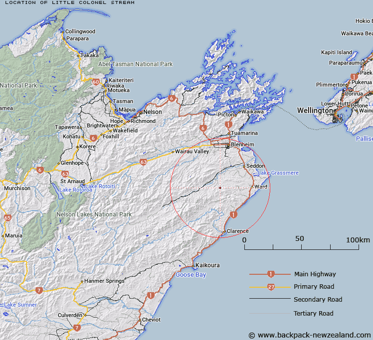
Map showing location of Little Colonel Stream


LINZ description: Left bank tributary of Colonel Gully Stream, rising 1km North-east of Round Hill, flowing northward and joining Colonel Gully Stream 2.7km due East of Corleggy homestead. Block VI, Blue Mountain Survey District.
Latitude: -41.830527
Longitude: 173.893025
Northing: 5368654.5
Easting: 1674154.5
Land District: Marlborough
Feat Type: Stream


Scroll down to see a more detailed road map and below that a topographical map showing the location of Little Colonel Stream. The road map has been supplied by openstreetmap and the topographical map of Little Colonel Stream has been supplied by Land Information New Zealand (LINZ).

Yes you can use the top static map for you school/university project or personal website with a link back. Contact me for any commercial use.

Little Colonel Stream Map New Zealand


New Zealand places in our database
[ A ] [ B ] [ C ] [ D ] [ E ] [ F ] [ G ] [ H ] [ I ] [ J ] [ K ] [ L ] [ M ] [ N ] [ O ] [ P ] [ Q ] [ R ] [ S ] [ T ] [ U ] [ V ] [ W ] [ X ] [ Y ] [ Z ]


Closest 20 Streams to Little Colonel Stream

Boundary Stream ( 1.9km )   Colonel Gully Stream ( 4.18km )   Brown Stream ( 5.28km )   Horse Stream ( 6.07km )   Box Stream ( 6.38km )   Black Angel Stream ( 6.67km )   Blue Mountain Stream ( 6.96km )   Headache Stream ( 7.3km )   Whitewash Stream ( 7.78km )   Deep Stream ( 8.08km )   Woodmans Bend ( 8.18km )   Elsies Creek ( 8.33km )   Fuchsia Creek ( 8.56km )   Scrub Rough Creek ( 8.96km )   Butchers Creek ( 9km )   Swale Stream ( 9.06km )   Bullock Head Stream ( 9.18km )   Gosling Creek ( 9.29km )   Thistle Creek ( 9.36km )   Brian Boru Stream ( 9.46km )   Ure River ( 9.56km )   Waima River ( 9.56km )   Camp-Hill Creek ( 9.61km )   Richmond Brook ( 9.82km )   Waterfall Creek ( 9.94km )   Reids Creek ( 10.14km )   Isolation Creek ( 10.24km )   The Zoo ( 10.43km )   White Bluff Creek ( 10.46km )   Medway River ( 10.74km )   Sandstone Cutting ( 10.85km )   Nidd Stream ( 11.42km )   Dunsandel Creek ( 11.48km )   Lower Swale Stream ( 11.82km )   Cow Creek ( 12.33km )   Cover Stream ( 12.37km )   Lookout Stream ( 12.38km )   Jordan River ( 12.5km )   Ring Creek ( 13.01km )   Burnt Stream ( 13.21km )