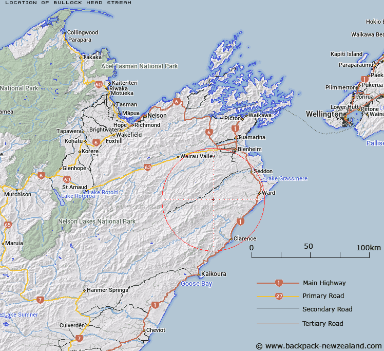
Map showing location of Bullock Head Stream
LINZ description: Left bank tributary of Medway River rising approximately 4.7km West by North-west of Mount Malvern [Trig. Y (Geodetic Code A41P)], flowing north-eastward and joining Medway River 3km due West of Big Cregan. Blocks XXI and XXV, Hodder Survey District.
Latitude: -41.869564
Longitude: 173.795307
Northing: 5364400
Easting: 1666000
Land District: Marlborough
Feat Type: Stream
Latitude: -41.869564
Longitude: 173.795307
Northing: 5364400
Easting: 1666000
Land District: Marlborough
Feat Type: Stream

Scroll down to see a more detailed road map and below that a topographical map showing the location of Bullock Head Stream. The road map has been supplied by openstreetmap and the topographical map of Bullock Head Stream has been supplied by Land Information New Zealand (LINZ).
Yes you can use the top static map for you school/university project or personal website with a link back. Contact me for any commercial use.
[ A ] [ B ] [ C ] [ D ] [ E ] [ F ] [ G ] [ H ] [ I ] [ J ] [ K ] [ L ] [ M ] [ N ] [ O ] [ P ] [ Q ] [ R ] [ S ] [ T ] [ U ] [ V ] [ W ] [ X ] [ Y ] [ Z ]