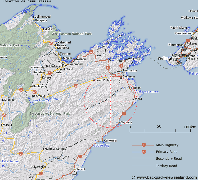
Map showing location of Deep Stream


LINZ description: Left bank tributary of Medway River approximately 2.25km in length, flowing north-eastward and joining Medway River 1.4km downstream of Bullock Head Stream. Block XXI, Hodder Survey District.
Latitude: -41.854952
Longitude: 173.801181
Northing: 5366017.8
Easting: 1666502.6
Land District: Marlborough
Feat Type: Stream


Scroll down to see a more detailed road map and below that a topographical map showing the location of Deep Stream. The road map has been supplied by openstreetmap and the topographical map of Deep Stream has been supplied by Land Information New Zealand (LINZ).

Yes you can use the top static map for you school/university project or personal website with a link back. Contact me for any commercial use.

Deep Stream Map New Zealand


New Zealand places in our database
[ A ] [ B ] [ C ] [ D ] [ E ] [ F ] [ G ] [ H ] [ I ] [ J ] [ K ] [ L ] [ M ] [ N ] [ O ] [ P ] [ Q ] [ R ] [ S ] [ T ] [ U ] [ V ] [ W ] [ X ] [ Y ] [ Z ]


Closest 20 Streams to Deep Stream

Bullock Head Stream ( 1.7km )   Brown Stream ( 3.2km )   Thistle Creek ( 4.19km )   Medway River ( 4.27km )   Lookout Stream ( 4.44km )   Jordan River ( 4.81km )   Sandstone Cutting ( 5.81km )   Waterfall Creek ( 6.33km )   McRae River ( 6.36km )   Swale Stream ( 6.48km )   Boundary Stream ( 6.73km )   Fuchsia Creek ( 6.73km )   Lower Swale Stream ( 6.92km )   Camp-Hill Creek ( 6.94km )   Isis Stream ( 7.69km )   Ring Creek ( 7.92km )   Little Colonel Stream ( 8.08km )   Cow Creek ( 8.16km )   Horse Stream ( 8.6km )   Scrub Rough Creek ( 8.79km )   Penk River ( 8.97km )   Cam River ( 9.21km )   Bolton Stream ( 9.41km )   Woodmans Bend ( 10.05km )   Whitewash Stream ( 10.22km )   Colonel Gully Stream ( 10.28km )   Dinner Stream ( 10.89km )   Box Stream ( 10.91km )   Dore Stream ( 11.02km )   White Bluff Creek ( 11.05km )   Burr Stream ( 11.34km )   Gosling Creek ( 11.58km )   Nidd Stream ( 11.7km )   Cover Stream ( 12.28km )   Shin River ( 12.42km )   The Zoo ( 12.53km )   Wharf Stream ( 12.9km )   Clyde Stream ( 12.91km )   Ouse Stream ( 13.51km )   Burnt Stream ( 13.61km )