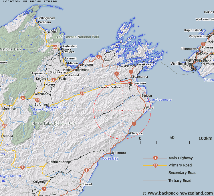
Map showing location of Brown Stream
LINZ description: Right bank tributary of Big Gully rising South of Big Hill [Trig. S (Geodetic Code A41M)], and West of Little Cregan, flowing westward and joining Big Gully 1.1km North-west of Big Cregan. Block X, Blue Mountain Survey District.
Latitude: -41.85667
Longitude: 173.839767
Northing: 5365796.4
Easting: 1669703.6
Land District: Marlborough
Feat Type: Stream
Latitude: -41.85667
Longitude: 173.839767
Northing: 5365796.4
Easting: 1669703.6
Land District: Marlborough
Feat Type: Stream

Scroll down to see a more detailed road map and below that a topographical map showing the location of Brown Stream. The road map has been supplied by openstreetmap and the topographical map of Brown Stream has been supplied by Land Information New Zealand (LINZ).
Yes you can use the top static map for you school/university project or personal website with a link back. Contact me for any commercial use.
[ A ] [ B ] [ C ] [ D ] [ E ] [ F ] [ G ] [ H ] [ I ] [ J ] [ K ] [ L ] [ M ] [ N ] [ O ] [ P ] [ Q ] [ R ] [ S ] [ T ] [ U ] [ V ] [ W ] [ X ] [ Y ] [ Z ]