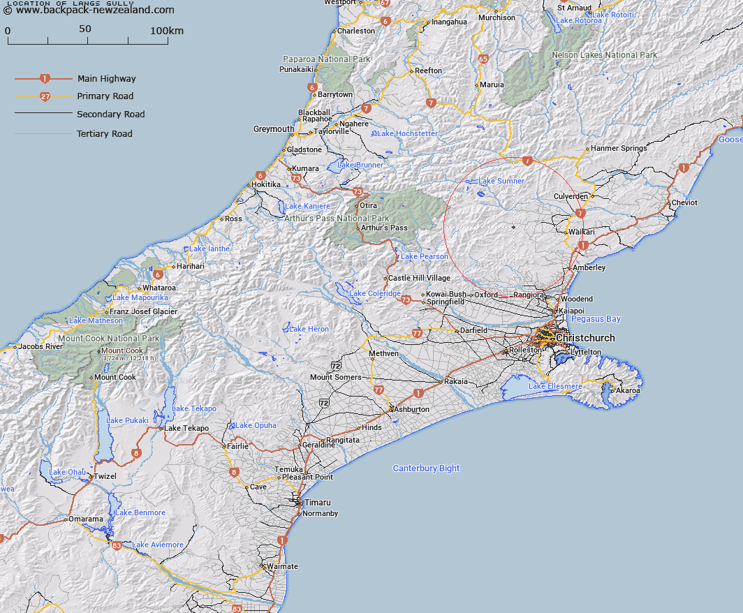
Map showing location of Langs Gully


LINZ description: Short tributary of North Branch Waipara River flowing in east of Madrid Hill
Latitude: -42.937602
Longitude: 172.420761
Northing: 5245951.6
Easting: 1552739.4
Land District: Canterbury
Feat Type: Valley


Scroll down to see a more detailed road map and below that a topographical map showing the location of Langs Gully. The road map has been supplied by openstreetmap and the topographical map of Langs Gully has been supplied by Land Information New Zealand (LINZ).

Yes you can use the top static map for you school/university project or personal website with a link back. Contact me for any commercial use.

Langs Gully Map New Zealand


New Zealand places in our database
[ A ] [ B ] [ C ] [ D ] [ E ] [ F ] [ G ] [ H ] [ I ] [ J ] [ K ] [ L ] [ M ] [ N ] [ O ] [ P ] [ Q ] [ R ] [ S ] [ T ] [ U ] [ V ] [ W ] [ X ] [ Y ] [ Z ]


Closest 20 Valleys to Langs Gully

Pig Gully ( 2.15km )   Happy Valley ( 4.94km )   Deer Wallow Gully ( 5.79km )   Hurricane Gully ( 7.1km )   Soda Gully ( 9.05km )   Reservoir Gully ( 10.46km )   Boundary Gully ( 13.72km )   Seagull Gully ( 14.12km )   Ohuriawa Gorge ( 17km )   Boil Gully ( 17.31km )   Old House Gully ( 19.97km )   Tent Gully ( 24.2km )   Wooded Gully ( 30.58km )   Dynamite Gully ( 30.82km )   Hughs Gully ( 31.85km )   Freezing Gully ( 32.59km )   Haircut Gully ( 33.92km )   Dismal Valley ( 34.67km )   Smothering Gully ( 36.46km )   McArthur Gorge ( 40.25km )   Knowles Gully ( 41.21km )   Jones Gully ( 41.41km )   Carrington Gorge ( 44.03km )   McElroy Gorge ( 45.25km )   Gabriels Gully ( 46.03km )   Hervey Gorge ( 48.02km )   Magdalen Valley ( 49.43km )   Sawpit Gully ( 49.93km )   Long Gully ( 51.08km )   Otarama Gorge ( 52.2km )   Staircase Gully ( 54.21km )   The Lovers Walk ( 54.93km )   The Narrows ( 55.33km )   Pylon Gully ( 58.83km )   Bishops Gully ( 58.99km )   Craigieburn Cutting ( 59.31km )   Deer Valley ( 60.39km )   Mikes Gully ( 60.73km )   Ghost Gully ( 60.73km )   Gum Tree Gully ( 60.75km )