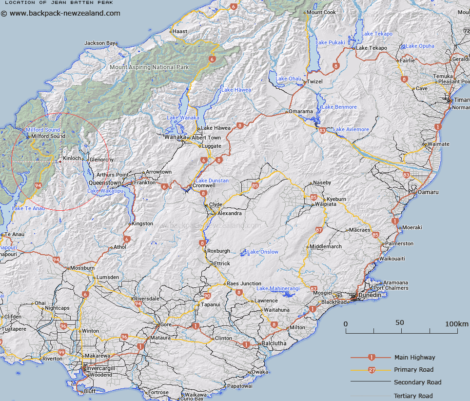
Map showing location of Jean Batten Peak


LINZ description: Peak at northern end of Ailsa Mountains, east of Lake McKellar and Greenstone River.
Latitude: -44.858831
Longitude: 168.173091
Northing: 5021386.8
Easting: 1218630.2
Land District: Otago
Feat Type: Hill


Scroll down to see a more detailed road map and below that a topographical map showing the location of Jean Batten Peak. The road map has been supplied by openstreetmap and the topographical map of Jean Batten Peak has been supplied by Land Information New Zealand (LINZ).

Yes you can use the top static map for you school/university project or personal website with a link back. Contact me for any commercial use.

Jean Batten Peak Map New Zealand


New Zealand places in our database
[ A ] [ B ] [ C ] [ D ] [ E ] [ F ] [ G ] [ H ] [ I ] [ J ] [ K ] [ L ] [ M ] [ N ] [ O ] [ P ] [ Q ] [ R ] [ S ] [ T ] [ U ] [ V ] [ W ] [ X ] [ Y ] [ Z ]


Closest 20 Hills to Jean Batten Peak

Mount Bonpland ( 9.1km )   Melita Peak ( 9.35km )   Consolation Peak ( 9.39km )   Bold Peak ( 10.29km )   East Peak ( 10.79km )   Ngatimamoe Peak ( 11.18km )   Mount Lyttle ( 11.19km )   Billy the B ( 11.19km )   Home Hill ( 11.58km )   Mount Christina ( 12.23km )   South Peak ( 12.53km )   Ocean Peak ( 12.81km )   Pyramid Peak ( 12.85km )   Emily Peak ( 12.86km )   North Peak ( 12.96km )   Aragorn Peak ( 12.96km )   Triangle Peak ( 13km )   Flat Top Peak ( 13.04km )   David Peaks ( 13.19km )   Mount Suter ( 13.38km )   Mount Gunn ( 13.53km )   Mount Charlton ( 14.45km )   Harris Saddle ( 14.7km )   Harris Saddle/Tarahaka Whakatipu ( 14.7km )   East Peak ( 14.73km )   Second Peak ( 14.85km )   Upper Peak ( 14.99km )   Middle Peak ( 15.04km )   West Peak ( 15.18km )   Conical Hill ( 15.25km )   Adelaide Peak ( 15.46km )   Triton Peak ( 15.58km )   Students Peak ( 15.6km )   Sabre Peak ( 15.64km )   Marian Peak ( 15.88km )   Mount Park ( 15.96km )   Disappearing Peaks ( 16.11km )   Mount Xenicus ( 16.19km )   Barrier Peak ( 16.28km )   Low Peak ( 16.65km )