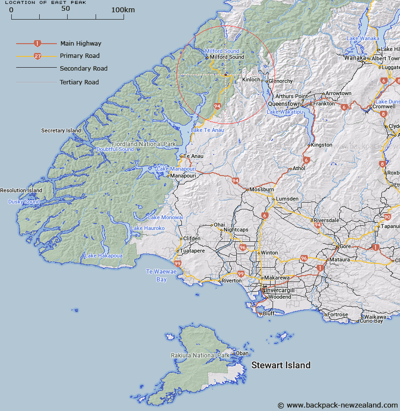
Map showing location of East Peak
LINZ description: A peak 1.5km south-east of Mt Christina (2474m) with Lake Marian lying to the north of the peak and the Hollyford River to the south of the peak. Feature shown on: NZMS260 D41 Edition 1 1995
Latitude: -44.799361
Longitude: 168.064972
Northing: 5027478.5
Easting: 1209685.6
Land District: Southland
Feat Type: Hill
Latitude: -44.799361
Longitude: 168.064972
Northing: 5027478.5
Easting: 1209685.6
Land District: Southland
Feat Type: Hill

Scroll down to see a more detailed road map and below that a topographical map showing the location of East Peak. The road map has been supplied by openstreetmap and the topographical map of East Peak has been supplied by Land Information New Zealand (LINZ).
Yes you can use the top static map for you school/university project or personal website with a link back. Contact me for any commercial use.
[ A ] [ B ] [ C ] [ D ] [ E ] [ F ] [ G ] [ H ] [ I ] [ J ] [ K ] [ L ] [ M ] [ N ] [ O ] [ P ] [ Q ] [ R ] [ S ] [ T ] [ U ] [ V ] [ W ] [ X ] [ Y ] [ Z ]