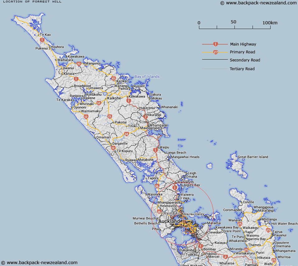
Map showing location of Forrest Hill
LINZ description: North Shore City suburb bounded by Sunnynook and Campbells Bay to the north, Castor Bay and Milford to the east and Wairau Valley on the south west.
Feature shown on: NZTopo50-BA31 560298
Latitude: -36.764754
Longitude: 174.747434
Northing: 5929800
Easting: 1755964.4
Land District: North Auckland
Feat Type: Suburb
Latitude: -36.764754
Longitude: 174.747434
Northing: 5929800
Easting: 1755964.4
Land District: North Auckland
Feat Type: Suburb

Scroll down to see a more detailed road map and below that a topographical map showing the location of Forrest Hill. The road map has been supplied by openstreetmap and the topographical map of Forrest Hill has been supplied by Land Information New Zealand (LINZ).
Yes you can use the top static map for you school/university project or personal website with a link back. Contact me for any commercial use.
[ A ] [ B ] [ C ] [ D ] [ E ] [ F ] [ G ] [ H ] [ I ] [ J ] [ K ] [ L ] [ M ] [ N ] [ O ] [ P ] [ Q ] [ R ] [ S ] [ T ] [ U ] [ V ] [ W ] [ X ] [ Y ] [ Z ]