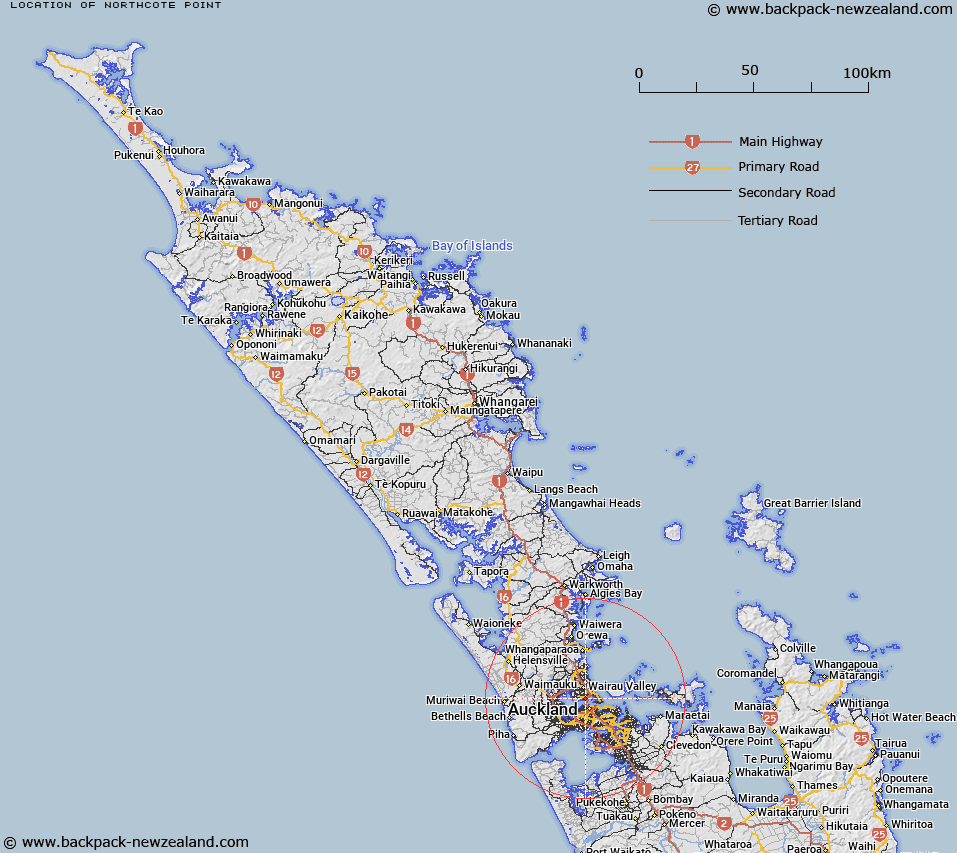
Map showing location of Northcote Point
LINZ description: North Shore City suburb in the Waitemata Harbour connected to Auckland City by the Auckland Harbour Bridge. Bounded to the north by Northcote suburb.
Latitude: -36.814541
Longitude: 174.745245
Northing: 5924279.9
Easting: 1755668.2
Land District: North Auckland
Feat Type: Suburb
Latitude: -36.814541
Longitude: 174.745245
Northing: 5924279.9
Easting: 1755668.2
Land District: North Auckland
Feat Type: Suburb

Scroll down to see a more detailed road map and below that a topographical map showing the location of Northcote Point. The road map has been supplied by openstreetmap and the topographical map of Northcote Point has been supplied by Land Information New Zealand (LINZ).
Yes you can use the top static map for you school/university project or personal website with a link back. Contact me for any commercial use.
[ A ] [ B ] [ C ] [ D ] [ E ] [ F ] [ G ] [ H ] [ I ] [ J ] [ K ] [ L ] [ M ] [ N ] [ O ] [ P ] [ Q ] [ R ] [ S ] [ T ] [ U ] [ V ] [ W ] [ X ] [ Y ] [ Z ]