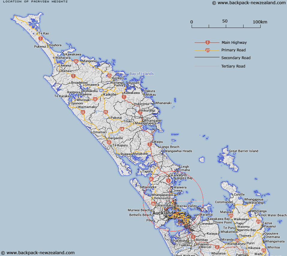
Map showing location of Fairview Heights
LINZ description: North Shore City suburb north of Albany, Albany Heights and Otaha and west of Northcross and Torbay.
Latitude: -36.711156
Longitude: 174.714151
Northing: 5935800
Easting: 1753100
Land District: North Auckland
Feat Type: Suburb
Latitude: -36.711156
Longitude: 174.714151
Northing: 5935800
Easting: 1753100
Land District: North Auckland
Feat Type: Suburb

Scroll down to see a more detailed road map and below that a topographical map showing the location of Fairview Heights. The road map has been supplied by openstreetmap and the topographical map of Fairview Heights has been supplied by Land Information New Zealand (LINZ).
Yes you can use the top static map for you school/university project or personal website with a link back. Contact me for any commercial use.
[ A ] [ B ] [ C ] [ D ] [ E ] [ F ] [ G ] [ H ] [ I ] [ J ] [ K ] [ L ] [ M ] [ N ] [ O ] [ P ] [ Q ] [ R ] [ S ] [ T ] [ U ] [ V ] [ W ] [ X ] [ Y ] [ Z ]