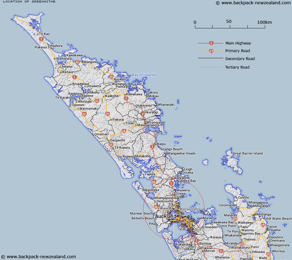
Map showing location of Greenhithe
LINZ description: North Shore City suburb between Schnapper Rock and Bayview and surrounded by the upper reaches of the Waitemata Harbour which forms the western and southern boundaries
Latitude: -36.771135
Longitude: 174.684352
Northing: 5929193
Easting: 1750321.2
Land District: North Auckland
Feat Type: Suburb
Latitude: -36.771135
Longitude: 174.684352
Northing: 5929193
Easting: 1750321.2
Land District: North Auckland
Feat Type: Suburb

Scroll down to see a more detailed road map and below that a topographical map showing the location of Greenhithe. The road map has been supplied by openstreetmap and the topographical map of Greenhithe has been supplied by Land Information New Zealand (LINZ).
Yes you can use the top static map for you school/university project or personal website with a link back. Contact me for any commercial use.
[ A ] [ B ] [ C ] [ D ] [ E ] [ F ] [ G ] [ H ] [ I ] [ J ] [ K ] [ L ] [ M ] [ N ] [ O ] [ P ] [ Q ] [ R ] [ S ] [ T ] [ U ] [ V ] [ W ] [ X ] [ Y ] [ Z ]