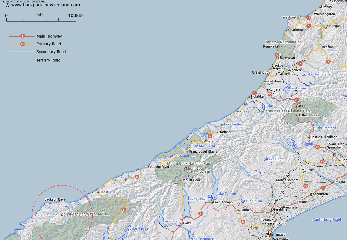
Map showing location of Distal


LINZ description: For peak at end of ridge west of Collyer (peak) in the Olivine Range, Arawhata, Cascade River Region.
Latitude: -44.163851
Longitude: 168.587433
Northing: 5100453.5
Easting: 1247190.9
Land District: Westland
Feat Type: Hill


Scroll down to see a more detailed road map and below that a topographical map showing the location of Distal. The road map has been supplied by openstreetmap and the topographical map of Distal has been supplied by Land Information New Zealand (LINZ).

Yes you can use the top static map for you school/university project or personal website with a link back. Contact me for any commercial use.

Distal Map New Zealand


New Zealand places in our database
[ A ] [ B ] [ C ] [ D ] [ E ] [ F ] [ G ] [ H ] [ I ] [ J ] [ K ] [ L ] [ M ] [ N ] [ O ] [ P ] [ Q ] [ R ] [ S ] [ T ] [ U ] [ V ] [ W ] [ X ] [ Y ] [ Z ]


Closest 20 Hills to Distal

Collyer ( 1.19km )   Dagon ( 3.79km )   Mount Lindsay ( 4.75km )   Martyr Hill ( 4.86km )   Staircase Mountain ( 5.46km )   Baal ( 6.73km )   Mount Beta ( 8.45km )   Charlies Bump ( 8.64km )   Tararua Peak ( 8.77km )   Riddle Peak ( 9.2km )   Mount Jackson ( 9.22km )   Mount Delta ( 9.26km )   Mount Richards ( 9.28km )   Richards Mountain ( 9.28km )   Mount Eggelling ( 11.2km )   Mount Eggeling ( 11.2km )   Mount Alpha ( 11.71km )   Bald Mountain ( 11.93km )   Lucifer ( 12.01km )   Mount Bel ( 12.25km )   Mount Nob ( 12.27km )   Mount Raddle ( 12.4km )   Datamos ( 12.66km )   Gerard Knob ( 13.01km )   Mount Grant ( 13.15km )   Fingals Head ( 13.39km )   Colin Hill ( 13.44km )   Mount Theta ( 13.71km )   The Pommel ( 14.2km )   Mount Barry ( 14.78km )   Joe Peak ( 15.06km )   McArthur Knob ( 15.5km )   Mount Ellery ( 15.6km )   Dee Hill ( 15.61km )   Hyperia ( 15.84km )   Snowden ( 15.86km )   Mount Duncan ( 15.88km )   Clarke Hill ( 16.97km )   Mount Heveldt ( 17.18km )   Teer Hill ( 18.23km )