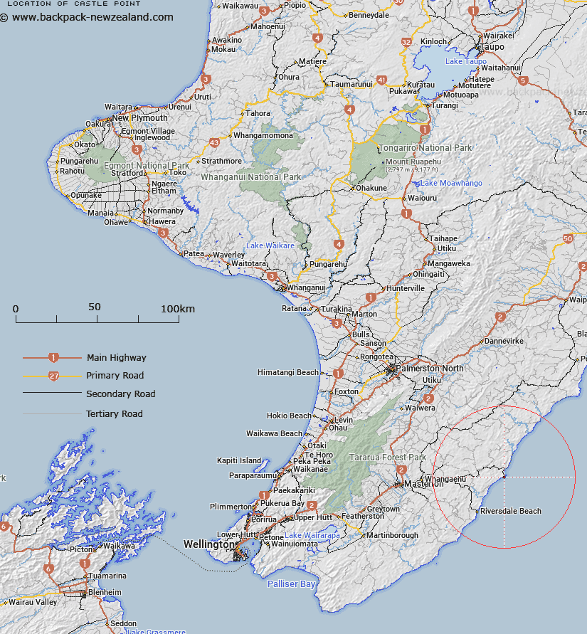
Map showing location of Castle Point
LINZ description: A prominent coastal feature, 1km south-west of Castlepoint township, rising to a height of 162m, on which is located a beaconed geodetic mark, coded A40V and named “Castlepoint No 2”. NZTopo50 BP36-Castlepoint, GR 710 662.
Latitude: -40.91173
Longitude: 176.219017
Northing: 5466051.3
Easting: 1871105.6
Land District: Wellington
Feat Type: Coast Feature
Latitude: -40.91173
Longitude: 176.219017
Northing: 5466051.3
Easting: 1871105.6
Land District: Wellington
Feat Type: Coast Feature

Scroll down to see a more detailed road map and below that a topographical map showing the location of Castle Point. The road map has been supplied by openstreetmap and the topographical map of Castle Point has been supplied by Land Information New Zealand (LINZ).
Yes you can use the top static map for you school/university project or personal website with a link back. Contact me for any commercial use.
[ A ] [ B ] [ C ] [ D ] [ E ] [ F ] [ G ] [ H ] [ I ] [ J ] [ K ] [ L ] [ M ] [ N ] [ O ] [ P ] [ Q ] [ R ] [ S ] [ T ] [ U ] [ V ] [ W ] [ X ] [ Y ] [ Z ]