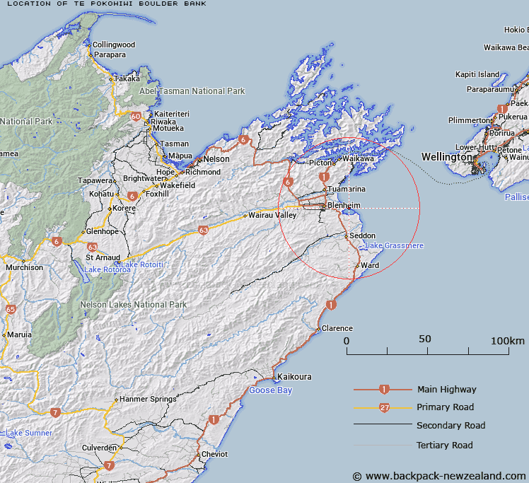
Map showing location of Te Pokohiwi / Boulder Bank
LINZ description: A boulder bank approximately 8 km long aligned northwest-southeast between Wairau River mouth and White Bluffs / Te Parinui o Whiti in Te Koko-o-Kupe / Cloudy Bay approximately 11 km east of Blenheim. NZTopo50-BR29 914025.
Latitude: -41.525229
Longitude: 174.09466
Northing: 5402356.4
Easting: 1691328.6
Land District: Marlborough
Feat Type: Coast Feature
Latitude: -41.525229
Longitude: 174.09466
Northing: 5402356.4
Easting: 1691328.6
Land District: Marlborough
Feat Type: Coast Feature

Scroll down to see a more detailed road map and below that a topographical map showing the location of Te Pokohiwi / Boulder Bank. The road map has been supplied by openstreetmap and the topographical map of Te Pokohiwi / Boulder Bank has been supplied by Land Information New Zealand (LINZ).
Yes you can use the top static map for you school/university project or personal website with a link back. Contact me for any commercial use.
[ A ] [ B ] [ C ] [ D ] [ E ] [ F ] [ G ] [ H ] [ I ] [ J ] [ K ] [ L ] [ M ] [ N ] [ O ] [ P ] [ Q ] [ R ] [ S ] [ T ] [ U ] [ V ] [ W ] [ X ] [ Y ] [ Z ]