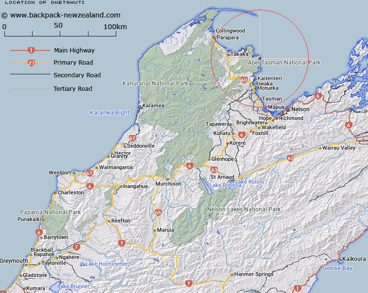
Map showing location of Onetahuti
LINZ description: The sandbank across the head of Tonga Roadstead
Latitude: -40.883364
Longitude: 173.050149
Northing: 5474189.3
Easting: 1604225
Land District: Nelson
Feat Type: Coast Feature
Latitude: -40.883364
Longitude: 173.050149
Northing: 5474189.3
Easting: 1604225
Land District: Nelson
Feat Type: Coast Feature

Scroll down to see a more detailed road map and below that a topographical map showing the location of Onetahuti. The road map has been supplied by openstreetmap and the topographical map of Onetahuti has been supplied by Land Information New Zealand (LINZ).
Yes you can use the top static map for you school/university project or personal website with a link back. Contact me for any commercial use.
[ A ] [ B ] [ C ] [ D ] [ E ] [ F ] [ G ] [ H ] [ I ] [ J ] [ K ] [ L ] [ M ] [ N ] [ O ] [ P ] [ Q ] [ R ] [ S ] [ T ] [ U ] [ V ] [ W ] [ X ] [ Y ] [ Z ]