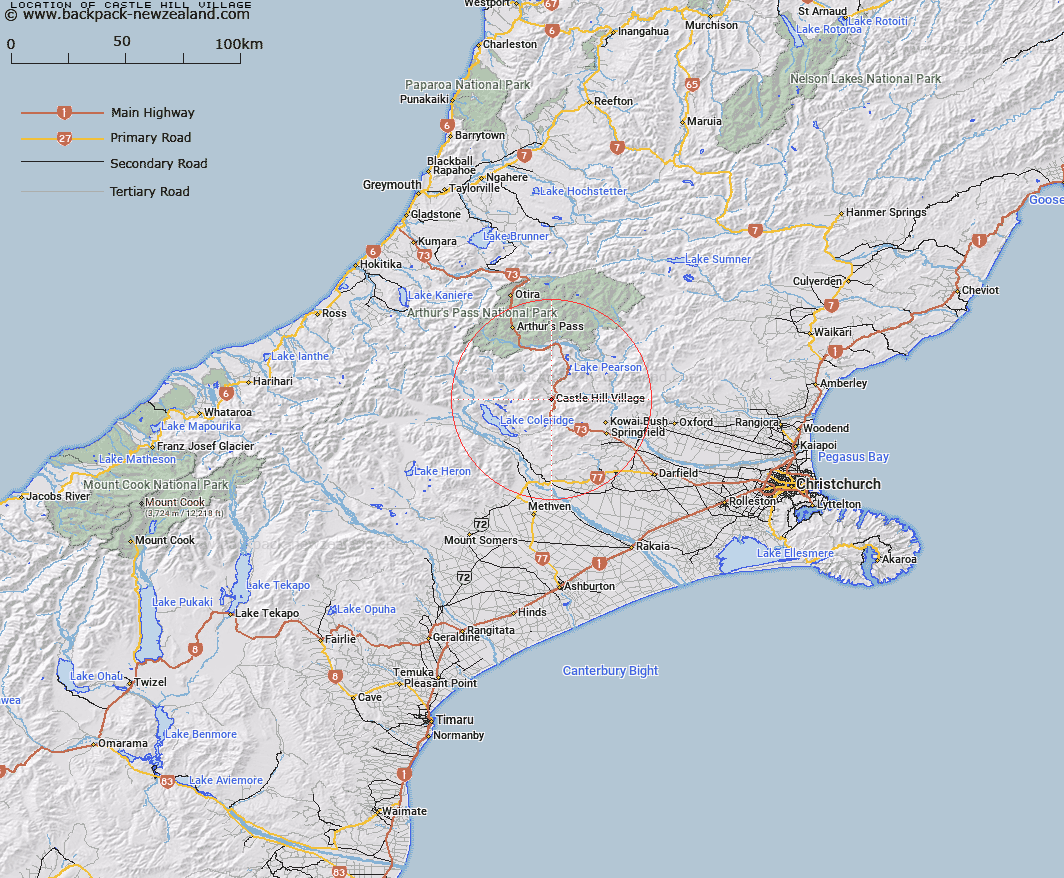
Map showing location of Castle Hill Village
LINZ description: Mountain village fronting the West Coast Road, just north of the Thomas River
Latitude: -43.210236
Longitude: 171.715786
Northing: 5215037.9
Easting: 1495682.9
Land District: Canterbury
Feat Type: Village
Latitude: -43.210236
Longitude: 171.715786
Northing: 5215037.9
Easting: 1495682.9
Land District: Canterbury
Feat Type: Village

Scroll down to see a more detailed road map and below that a topographical map showing the location of Castle Hill Village. The road map has been supplied by openstreetmap and the topographical map of Castle Hill Village has been supplied by Land Information New Zealand (LINZ).
Yes you can use the top static map for you school/university project or personal website with a link back. Contact me for any commercial use.
[ A ] [ B ] [ C ] [ D ] [ E ] [ F ] [ G ] [ H ] [ I ] [ J ] [ K ] [ L ] [ M ] [ N ] [ O ] [ P ] [ Q ] [ R ] [ S ] [ T ] [ U ] [ V ] [ W ] [ X ] [ Y ] [ Z ]