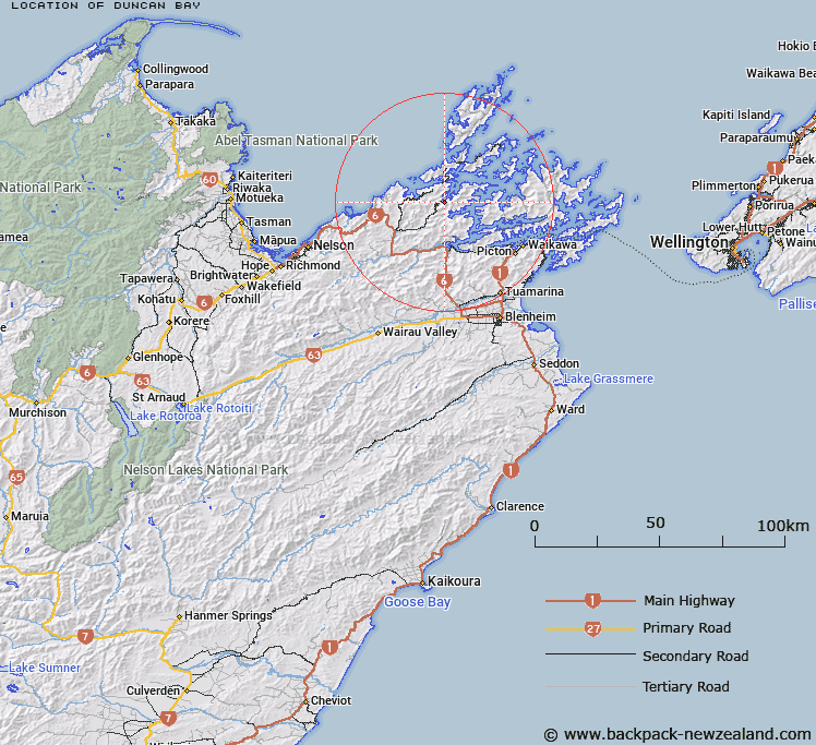
Map showing location of Duncan Bay
LINZ description: Locality/settlement at Duncan Bay (marine feature), situated at the southern-most reaches of Tennyson Inlet (large body of water off Tawhitinui Reach), Marlborough Sounds
Latitude: -41.120965
Longitude: 173.76257
Northing: 5447534.3
Easting: 1664016.2
Land District: Marlborough
Feat Type: Village
Latitude: -41.120965
Longitude: 173.76257
Northing: 5447534.3
Easting: 1664016.2
Land District: Marlborough
Feat Type: Village

Scroll down to see a more detailed road map and below that a topographical map showing the location of Duncan Bay. The road map has been supplied by openstreetmap and the topographical map of Duncan Bay has been supplied by Land Information New Zealand (LINZ).
Yes you can use the top static map for you school/university project or personal website with a link back. Contact me for any commercial use.
[ A ] [ B ] [ C ] [ D ] [ E ] [ F ] [ G ] [ H ] [ I ] [ J ] [ K ] [ L ] [ M ] [ N ] [ O ] [ P ] [ Q ] [ R ] [ S ] [ T ] [ U ] [ V ] [ W ] [ X ] [ Y ] [ Z ]