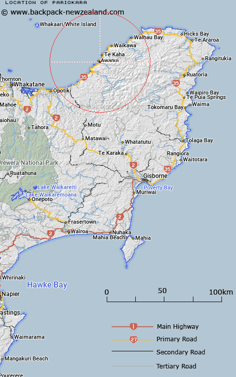
Map showing location of Pariokara
LINZ description: Located at outfall of Haparapara River into sea.
Latitude: -37.794764
Longitude: 177.663557
Northing: 5806700
Easting: 2010700
Land District: Gisborne
Feat Type: Village
Latitude: -37.794764
Longitude: 177.663557
Northing: 5806700
Easting: 2010700
Land District: Gisborne
Feat Type: Village

Scroll down to see a more detailed road map and below that a topographical map showing the location of Pariokara. The road map has been supplied by openstreetmap and the topographical map of Pariokara has been supplied by Land Information New Zealand (LINZ).
Yes you can use the top static map for you school/university project or personal website with a link back. Contact me for any commercial use.
[ A ] [ B ] [ C ] [ D ] [ E ] [ F ] [ G ] [ H ] [ I ] [ J ] [ K ] [ L ] [ M ] [ N ] [ O ] [ P ] [ Q ] [ R ] [ S ] [ T ] [ U ] [ V ] [ W ] [ X ] [ Y ] [ Z ]