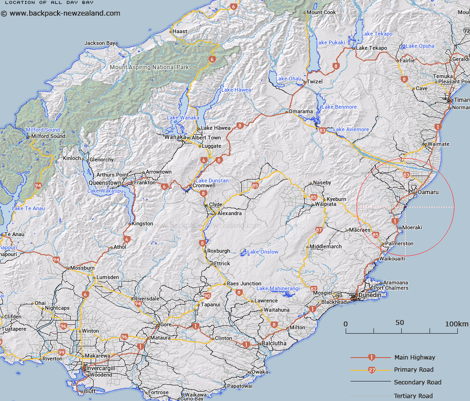
Map showing location of All Day Bay


LINZ description: Bay in between Kakanui Point and Orore Point.
Latitude: -45.205144
Longitude: 170.892618
Northing: 4992100
Easting: 1434500
Land District: Otago
Feat Type: Bay


Scroll down to see a more detailed road map and below that a topographical map showing the location of All Day Bay. The road map has been supplied by openstreetmap and the topographical map of All Day Bay has been supplied by Land Information New Zealand (LINZ).

Yes you can use the top static map for you school/university project or personal website with a link back. Contact me for any commercial use.

All Day Bay Map New Zealand


New Zealand places in our database
[ A ] [ B ] [ C ] [ D ] [ E ] [ F ] [ G ] [ H ] [ I ] [ J ] [ K ] [ L ] [ M ] [ N ] [ O ] [ P ] [ Q ] [ R ] [ S ] [ T ] [ U ] [ V ] [ W ] [ X ] [ Y ] [ Z ]


Closest 20 Bays to All Day Bay

Oamaru Harbour ( 12.69km )   Friendly Bay ( 12.74km )   P?r?kaunui Bay ( 62.88km )   Blueskin Bay ( 63.24km )   P?r?kaunui Inlet ( 64.78km )   Onekapua ( 64.91km )   Waipuna Bay ( 66.96km )   Dowling Bay ( 67.51km )   Hamilton Bay ( 68.13km )   Wickliffe Bay ( 70.37km )   Portobello Bay ( 71.63km )   Sawyers Bay ( 72.26km )   Lamlash Bay ( 72.6km )   Otago Harbour ( 72.78km )   Latham Bay ( 72.81km )   Papanui Inlet ( 72.97km )   Edwards Bay ( 73.43km )   Blanket Bay ( 73.71km )   Turnbulls Bay ( 74.07km )   Hoopers Inlet ( 75.32km )   Raynbirds Bay ( 75.41km )   The Chasm ( 78.36km )   Sandfly Bay ( 79.65km )   Andersons Bay Inlet ( 81.7km )   Caroline Bay ( 95.27km )   Richards Bay ( 100.64km )   Black Forest Cove ( 101.26km )   Loch Loudon ( 103.52km )   Haldon Boat Harbour ( 108.98km )   Wairepo Bay ( 119.39km )   Wairepo Arm ( 119.47km )   Canterbury Bight ( 120.49km )   Dublin Bay ( 150km )   Roys Bay ( 150.2km )   Bremner Bay ( 151.24km )   Molyneux Bay ( 154.27km )   Molineux Bay ( 154.27km )   Moulineux Bay ( 154.27km )   Stevensons Arm ( 155.13km )   Damper Bay ( 156.21km )