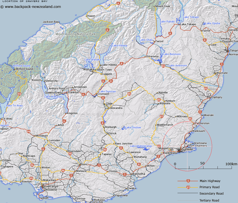
Map showing location of Sawyers Bay


LINZ description: Shown on Chart NZ 6612 Otago Harbour S. NZTopo50-CE17 143227
Latitude: -45.824058
Longitude: 170.609944
Northing: 4922722.7
Easting: 1414348.2
Land District: Otago
Feat Type: Bay


Scroll down to see a more detailed road map and below that a topographical map showing the location of Sawyers Bay. The road map has been supplied by openstreetmap and the topographical map of Sawyers Bay has been supplied by Land Information New Zealand (LINZ).

Yes you can use the top static map for you school/university project or personal website with a link back. Contact me for any commercial use.

Sawyers Bay Map New Zealand


New Zealand places in our database
[ A ] [ B ] [ C ] [ D ] [ E ] [ F ] [ G ] [ H ] [ I ] [ J ] [ K ] [ L ] [ M ] [ N ] [ O ] [ P ] [ Q ] [ R ] [ S ] [ T ] [ U ] [ V ] [ W ] [ X ] [ Y ] [ Z ]


Closest 20 Bays to Sawyers Bay

Otago Harbour ( 1.53km )   Blanket Bay ( 1.87km )   Turnbulls Bay ( 2.85km )   Edwards Bay ( 3.01km )   Raynbirds Bay ( 3.15km )   Latham Bay ( 3.27km )   Portobello Bay ( 3.86km )   Lamlash Bay ( 3.97km )   Hamilton Bay ( 4.59km )   Dowling Bay ( 5.57km )   Waipuna Bay ( 6.24km )   Hoopers Inlet ( 6.51km )   Papanui Inlet ( 7.23km )   P?r?kaunui Inlet ( 7.62km )   Sandfly Bay ( 8.83km )   P?r?kaunui Bay ( 9.61km )   The Chasm ( 9.74km )   Wickliffe Bay ( 9.9km )   Andersons Bay Inlet ( 10.2km )   Blueskin Bay ( 10.65km )   Onekapua ( 11.24km )   Loch Loudon ( 49.66km )   All Day Bay ( 72.26km )   Oamaru Harbour ( 84.67km )   Friendly Bay ( 84.76km )   Moulineux Bay ( 86.82km )   Molyneux Bay ( 86.82km )   Molineux Bay ( 86.82km )   Willsher Bay ( 90.25km )   Short Bay ( 90.37km )   Roaring Bay ( 93.26km )   Sandy Bay ( 94.9km )   Tucks Bay ( 96.06km )   Cannibal Bay ( 97.2km )   Surat Bay ( 98.9km )   Jacks Bay ( 101.89km )   Penguin Bay ( 103.83km )   Hinahina Cove ( 107.23km )   Purakaunui Bay ( 110.7km )   McPhee Cove ( 116.51km )