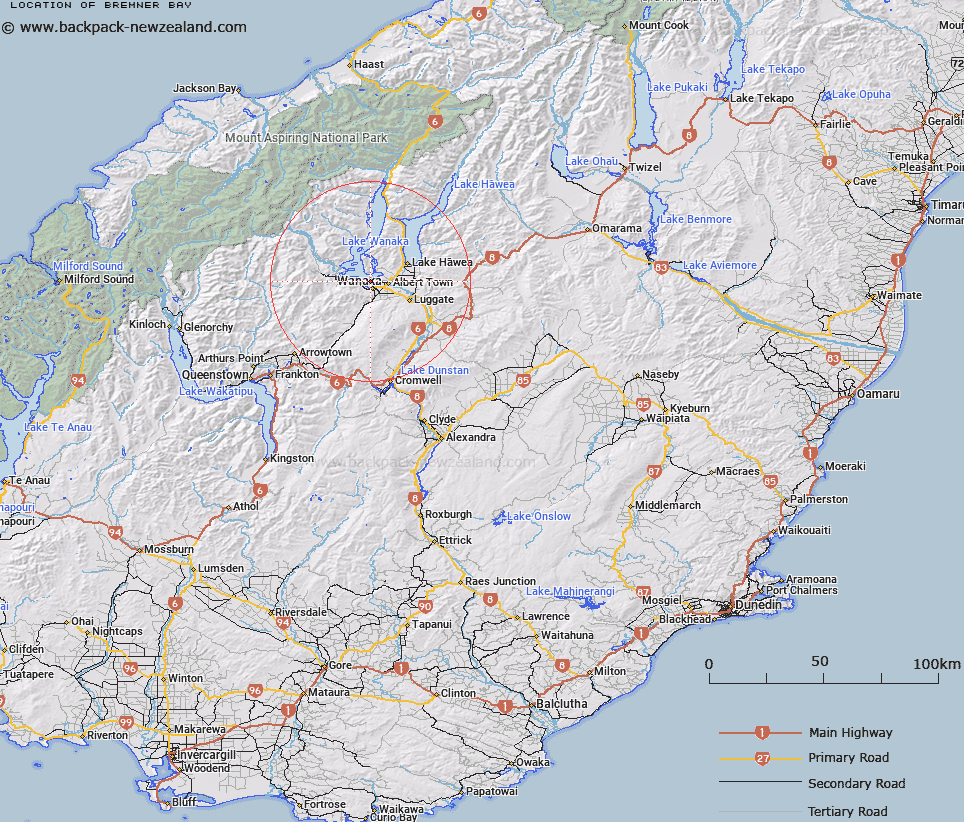
Map showing location of Bremner Bay


LINZ description: The bay and locality adjacent to Eely Point at Lake Wanaka.
Latitude: -44.676742
Longitude: 169.121882
Northing: 5045638.9
Easting: 1292628.3
Land District: Otago
Feat Type: Bay


Scroll down to see a more detailed road map and below that a topographical map showing the location of Bremner Bay. The road map has been supplied by openstreetmap and the topographical map of Bremner Bay has been supplied by Land Information New Zealand (LINZ).

Yes you can use the top static map for you school/university project or personal website with a link back. Contact me for any commercial use.

Bremner Bay Map New Zealand


New Zealand places in our database
[ A ] [ B ] [ C ] [ D ] [ E ] [ F ] [ G ] [ H ] [ I ] [ J ] [ K ] [ L ] [ M ] [ N ] [ O ] [ P ] [ Q ] [ R ] [ S ] [ T ] [ U ] [ V ] [ W ] [ X ] [ Y ] [ Z ]


Closest 20 Bays to Bremner Bay

Roys Bay ( 2km )   Dublin Bay ( 4.35km )   Damper Bay ( 4.98km )   Glendhu Bay ( 8.04km )   Bishops Bay ( 8.08km )   Paddock Bay ( 9.45km )   Parkins Bay ( 9.85km )   Stevensons Arm ( 9.86km )   Minaret Bay ( 27.59km )   Snag Bay ( 32.47km )   Frankton Arm ( 51.32km )   Queenstown Bay ( 54.87km )   Drift Bay ( 56.57km )   Sunshine Bay ( 57.04km )   Picnic Bay ( 57.04km )   Collins Bay ( 59.86km )   Blanket Bay ( 61.55km )   Wilson Bay ( 61.83km )   Table Bay ( 63.39km )   Meiklejohns Bay ( 65.03km )   Fortune or Bobs Cove ( 65.66km )   Beach Bay ( 65.93km )   Halfway Bay ( 66.44km )   Elfin Bay ( 67.71km )   Whites Bay ( 71.38km )   Southwest Bay ( 71.38km )   Jacksons Bay ( 85.07km )   Jackson Bay ( 85.07km )   Jackson Bay/Okahu ( 85.07km )   Wairepo Arm ( 86.76km )   Wairepo Bay ( 87.22km )   Stafford Bay ( 88.94km )   Smoothwater Bay ( 89.15km )   Homminy Cove ( 89.68km )   Gravel Cove ( 89.86km )   Browns Refuge ( 90.68km )   Cascade Bay ( 92km )   Barn Bay ( 92.08km )   Big Bay ( 93.15km )   Richards Bay ( 93.73km )