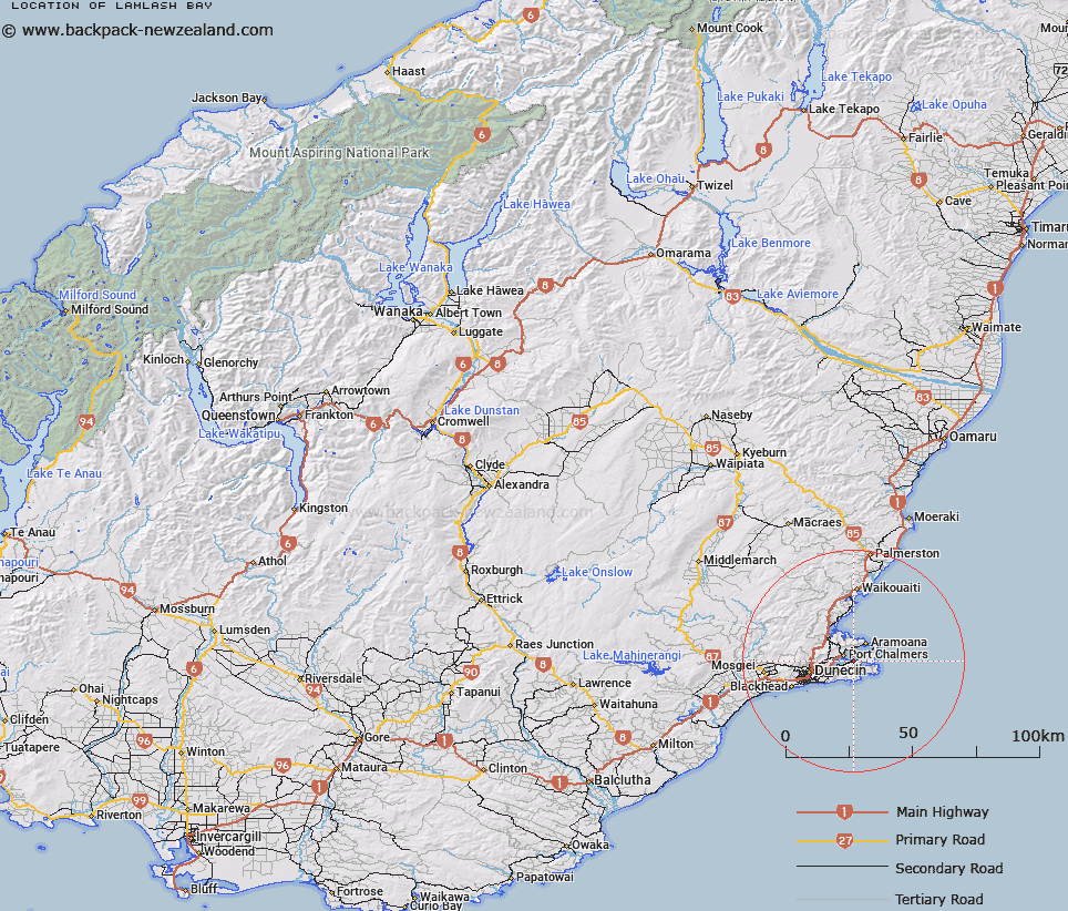
Map showing location of Lamlash Bay


LINZ description: Bay just north of Portobello, Otago Peninsula
Latitude: -45.836952
Longitude: 170.657704
Northing: 4921400
Easting: 1418100
Land District: Otago
Feat Type: Bay


Scroll down to see a more detailed road map and below that a topographical map showing the location of Lamlash Bay. The road map has been supplied by openstreetmap and the topographical map of Lamlash Bay has been supplied by Land Information New Zealand (LINZ).

Yes you can use the top static map for you school/university project or personal website with a link back. Contact me for any commercial use.

Lamlash Bay Map New Zealand


New Zealand places in our database
[ A ] [ B ] [ C ] [ D ] [ E ] [ F ] [ G ] [ H ] [ I ] [ J ] [ K ] [ L ] [ M ] [ N ] [ O ] [ P ] [ Q ] [ R ] [ S ] [ T ] [ U ] [ V ] [ W ] [ X ] [ Y ] [ Z ]


Closest 20 Bays to Lamlash Bay

Latham Bay ( 0.77km )   Portobello Bay ( 0.98km )   Edwards Bay ( 1.46km )   Turnbulls Bay ( 2.33km )   Otago Harbour ( 2.53km )   Hoopers Inlet ( 3.22km )   Papanui Inlet ( 3.26km )   Sawyers Bay ( 3.97km )   Raynbirds Bay ( 4.76km )   Hamilton Bay ( 4.82km )   Dowling Bay ( 5.17km )   Blanket Bay ( 5.29km )   Waipuna Bay ( 5.66km )   Wickliffe Bay ( 6.25km )   The Chasm ( 6.74km )   Sandfly Bay ( 7.09km )   Onekapua ( 9.06km )   P?r?kaunui Inlet ( 9.39km )   P?r?kaunui Bay ( 11.31km )   Andersons Bay Inlet ( 12.16km )   Blueskin Bay ( 13.24km )   Loch Loudon ( 53.19km )   All Day Bay ( 72.6km )   Oamaru Harbour ( 84.86km )   Friendly Bay ( 84.96km )   Molineux Bay ( 88.58km )   Moulineux Bay ( 88.58km )   Molyneux Bay ( 88.58km )   Willsher Bay ( 91.89km )   Short Bay ( 91.97km )   Roaring Bay ( 94.72km )   Sandy Bay ( 96.38km )   Tucks Bay ( 97.51km )   Cannibal Bay ( 98.67km )   Surat Bay ( 100.39km )   Jacks Bay ( 103.4km )   Penguin Bay ( 105.32km )   Hinahina Cove ( 108.73km )   Purakaunui Bay ( 112.25km )   McPhee Cove ( 118.16km )