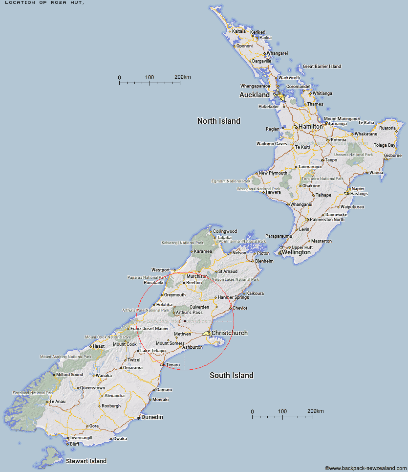
Topo Map showing location of Rosa Hut
This information is sourced from DoC, LINZ and Openstreetmap. Some of the hut photos are mine and the rest are from DoC. I will be adding an upload feature soon so people can photos of .Rosa Hut.
Latitude: -43.168448445
Longitude: 171.900003311
Location:
Type of Hut:
Map: Topo Map | Road Map
Does this hut still exist? Have any more information? Contact
Latitude: -43.168448445
Longitude: 171.900003311
Location:
Type of Hut:
Map: Topo Map | Road Map
Does this hut still exist? Have any more information? Contact
Scroll down to see a topographical map and road map showing the location of Rosa Hut
[ A ] [ B ] [ C ] [ D ] [ E ] [ F ] [ G ] [ H ] [ I ] [ J ] [ K ] [ L ] [ M ] [ N ] [ O ] [ P ] [ Q ] [ R ] [ S ] [ T ] [ U ] [ V ] [ W ] [ Y ] [ Z ]
Closest 20 Huts to Rosa Hut
These are as the crow fliesPetticoat Junction Hut 3.19km Walker Hut 5.06km Broken River Hut 5.69km Lower Salmon Creek Bivouac 6.57km Hamilton Hut 7.75km Kinnebrooks Hut 7.99km Puketeraki Bivouac 8.64km Black Hill Hut 8.69km Wharfedale Hut 11.84km Cass Saddle Hut 18.65km Adams Hut 21.02km Riversdale Hut 21.13km Andrews Shelter 21.25km Hamilton Hut 22.34km Lilburne Hut 22.48km Turnbull Bivouac 23.63km Hawdon Shelter 23.63km Tarn Hut 24.84km West Harper Hut 24.97km Benmore Hut 25.15km Bealey Hut 25.52km Lagoon Saddle A Frame Hut 27.29km Lagoon Saddle Hut 27.36km Lochinvar Hut 27.45km Youngman Stream Hut 27.95km Sudden Valley Bivouac 29.05km Bealey Spur Hut 30.74km Anna Hut 30.75km Bull Creek Hut 31.11km Klondyke Shelter 31.28km East Hawdon Bivouac 31.51km Hawdon Hut 31.68km Bob's Camp Bivouac 31.89km Greyneys Shelter 32.44km Edwards Hut 32.47km Ant Stream Hut 33.87km Ranger Bivouac 34.78km Old Basins Hut 34.9km Basins Hut 34.99km Mingha Bivouac 35.04km