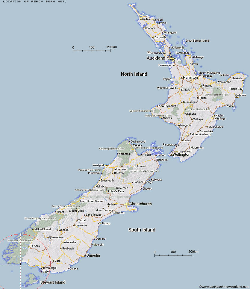
Topo Map showing location of Percy Burn Hut
This information is sourced from DoC, LINZ and Openstreetmap. Some of the hut photos are mine and the rest are from DoC. I will be adding an upload feature soon so people can photos of .Percy Burn Hut.
Latitude: -46.241393984
Longitude: 167.305094277
Location:
Type of Hut:
Map: Topo Map | Road Map
Does this hut still exist? Have any more information? Contact
Latitude: -46.241393984
Longitude: 167.305094277
Location:
Type of Hut:
Map: Topo Map | Road Map
Does this hut still exist? Have any more information? Contact
Scroll down to see a topographical map and road map showing the location of Percy Burn Hut
[ A ] [ B ] [ C ] [ D ] [ E ] [ F ] [ G ] [ H ] [ I ] [ J ] [ K ] [ L ] [ M ] [ N ] [ O ] [ P ] [ Q ] [ R ] [ S ] [ T ] [ U ] [ V ] [ W ] [ Y ] [ Z ]
Closest 20 Huts to Percy Burn Hut
These are as the crow fliesPort Craig School Hut 4.81km Port Craig Lodge 4.87km Wairaurahiri Hut 6.89km Okaka Lodge 9.16km Waitutu Hut 18.61km Lake Poteriteri Hut 18.64km Slaughterburn Hut 19.18km Teal Bay Hut 19.46km Westies Hut 26.71km Caroline Hut 33.41km Eel Creek Hut 40.18km Turnbull's (Big Dam) Hut 42.44km Martin's Hut 42.75km Rodger Inlet Huts 44km Monowai Hut 45.39km Hauroko Burn Hut 47.31km Clark Hut - A Frame 49.97km Te Oneroa Hut 50.47km Historic Clark Hut 50.81km Green Lake Hut 51.22km Halfway Hut 55km Borland Bivouac 56km Barcoo Hut 60.26km Lake Roe Hut 61.09km North Borland Hut 63.33km East Ruggedy Hut 63.36km Long Harry Hut 63.39km Rock Hut 63.54km Loch Maree Hut 64.59km Smoky Hunters Hut 65.39km Supper Cove Hut 66.11km Yankee River Hut 67.34km Telford Hut 68.58km Redcliff Hut 70.55km Lower Wairaki Hut 71.04km Kintail Hut 71.21km Big Hellfire Hut 71.82km Upper Wairaki Hut 72.17km Percy Shelter 72.54km Spence Hut 74.27km