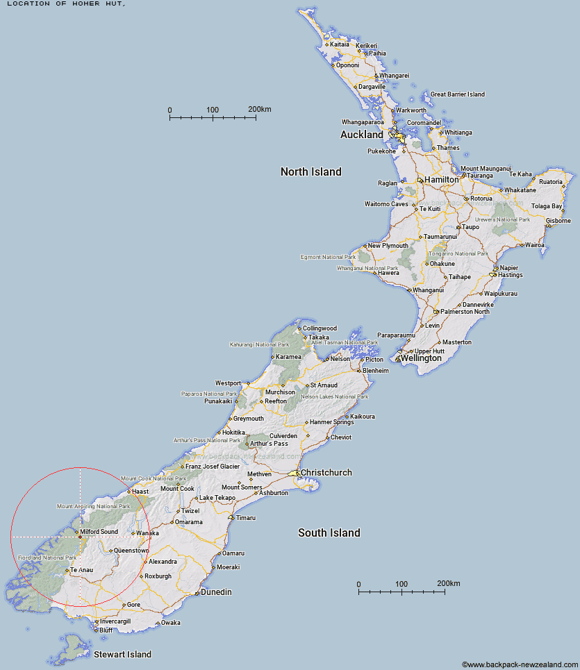
Topo Map showing location of Homer Hut
This information is sourced from DoC, LINZ and Openstreetmap. Some of the hut photos are mine and the rest are from DoC. I will be adding an upload feature soon so people can photos of .Homer Hut.
Latitude: -44.7673187466
Longitude: 168.002604618
Location:
Type of Hut:
Map: Topo Map | Road Map
Does this hut still exist? Have any more information? Contact
Latitude: -44.7673187466
Longitude: 168.002604618
Location:
Type of Hut:
Map: Topo Map | Road Map
Does this hut still exist? Have any more information? Contact
Scroll down to see a topographical map and road map showing the location of Homer Hut
[ A ] [ B ] [ C ] [ D ] [ E ] [ F ] [ G ] [ H ] [ I ] [ J ] [ K ] [ L ] [ M ] [ N ] [ O ] [ P ] [ Q ] [ R ] [ S ] [ T ] [ U ] [ V ] [ W ] [ Y ] [ Z ]
Closest 20 Huts to Homer Hut
These are as the crow fliesPhil's Bivvy 4.02km Gill's Bivvy 4.42km The Divide Shelter 11.1km Lake Howden Hut 11.77km Sandfly Point Shelter 12.22km Lake Mackenzie Lodge 13.49km Lake Mackenzie Hut 13.51km Giant Gate Shelter 13.75km McKellar Lodge 15.95km McKellar Hut 16.16km Routeburn Falls Lodge 16.16km Boatshed Hut 16.17km Boatshed Shelter 16.21km Routeburn Falls Hut 16.21km Turners Bivouac 16.41km Clinton Hut 17.1km Hirere Shelter 17.12km Prairie Shelter 17.3km Routeburn Flats Hut 17.43km Bus Stop Shelter 17.67km Pompolona Lodge 17.72km Sunshine Hut 17.85km Mintaro Hut 18.07km Glade House 18.09km Hidden Falls Hut 18.27km Andersons Cascade Shelter 18.3km Mackinnon Pass Shelter 18.35km Dumpling Hut 18.77km Upper Caples Hut 19.31km Kay Creek Hut 19.56km Pawnbroker Rock 19.78km Quintin Lodge 19.85km Routeburn Shelter 22.43km Worsley Hut 23.62km Steele Creek Hut 24.33km Rats Nest Hut 24.5km Mid Caples Hut 25.44km Lake Alabaster Hut 27.05km Steele Creek Lodge 27.28km Home Hill Hut 27.38km