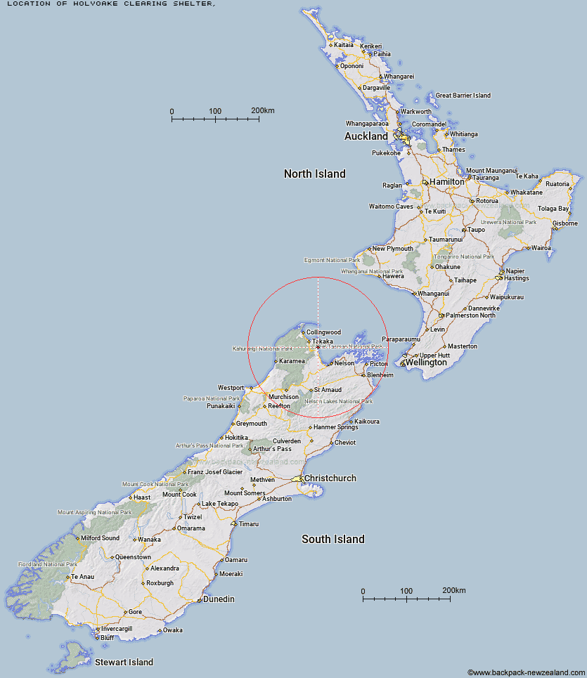
Topo Map showing location of Holyoake Clearing Shelter
This information is sourced from DoC, LINZ and Openstreetmap. Some of the hut photos are mine and the rest are from DoC. I will be adding an upload feature soon so people can photos of .Holyoake Clearing Shelter.
Latitude: -40.9641155613
Longitude: 173.00171642
Location:
Type of Hut:
Map: Topo Map | Road Map
Does this hut still exist? Have any more information? Contact
Latitude: -40.9641155613
Longitude: 173.00171642
Location:
Type of Hut:
Map: Topo Map | Road Map
Does this hut still exist? Have any more information? Contact
Scroll down to see a topographical map and road map showing the location of Holyoake Clearing Shelter
[ A ] [ B ] [ C ] [ D ] [ E ] [ F ] [ G ] [ H ] [ I ] [ J ] [ K ] [ L ] [ M ] [ N ] [ O ] [ P ] [ Q ] [ R ] [ S ] [ T ] [ U ] [ V ] [ W ] [ Y ] [ Z ]
Closest 20 Huts to Holyoake Clearing Shelter
These are as the crow fliesHolyoake Clearing Shelter 0km Castle Rock Hut 4.03km Anchorage Hut 4.77km Moa Park Shelter 6.22km Bark Bay Hut 6.63km Wainui Hut 8.8km Awaroa Hut 11.07km Awapoto Hut 12.44km Whariwharangi Hut 19.61km Tin Hut Shelter 21.09km Riordans Hut 23.54km Waingaro Forks Hut 28.94km Asbestos Cottage 31.84km Anatoki Forks Hut 33.16km Flora Hut 33.3km Sylvester Hut 33.88km Soper Shelter 34.31km Upper Gridiron Hut and Rock Shelters 34.37km Mt Arthur Hut 35.35km Growler Rock Shelter 35.49km Boulder Lake Hut 36.23km Myttons Hut 37.15km Dry Rock Shelter 37.2km Lonely Lake Hut 37.31km Trilobite Hut 37.75km Adelaide Tarn Hut 38.56km Chaffey Hut 38.96km Balloon Hut 39.12km Ellis Hut 40.33km Tent Camp 40.65km Fenella Hut 41.1km Cobb Hut 41.28km Splugeons Rock Shelter 42.48km Brown Hut 48.28km Third House Shelter 48.42km Flanagans Hut 48.51km Perry Saddle Hut 50.79km Karamea Bend Hut 50.85km Dun Shelter 52.43km Rocks Hut 53.71km