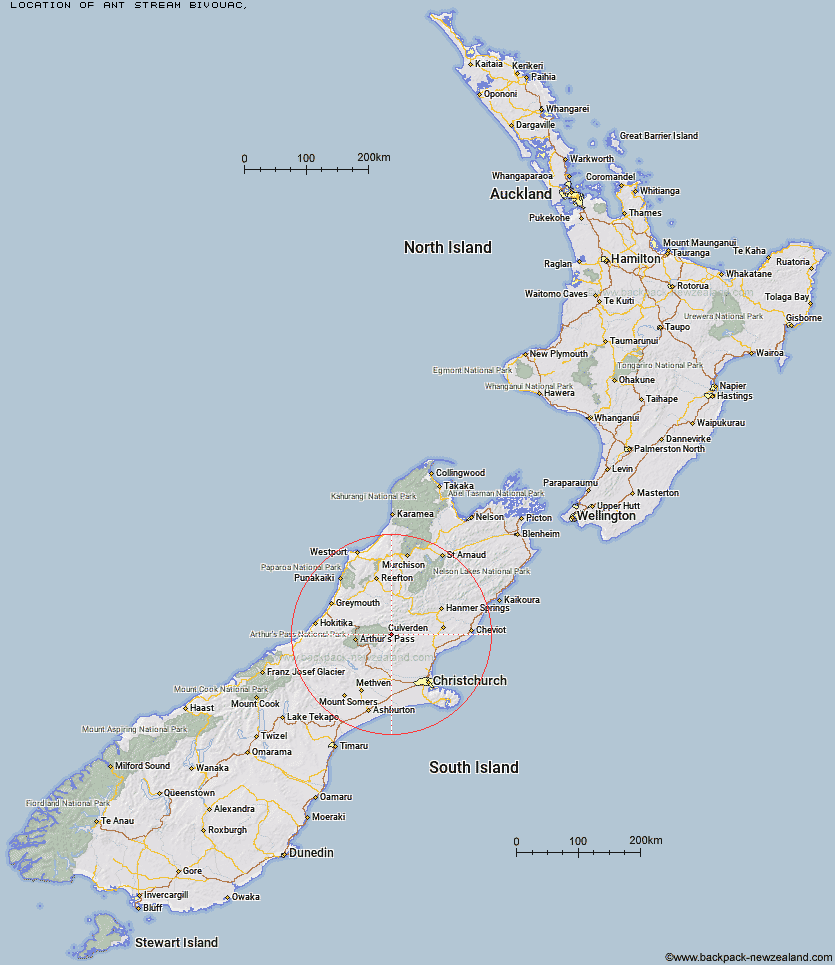
Topo Map showing location of Ant Stream Bivouac
This information is sourced from DoC, LINZ and Openstreetmap. Some of the hut photos are mine and the rest are from DoC. I will be adding an upload feature soon so people can photos of .Ant Stream Bivouac.
Latitude: -42.867402955
Longitude: 172.096150678
Location:
Type of Hut:
Map: Topo Map | Road Map
Does this hut still exist? Have any more information? Contact
Latitude: -42.867402955
Longitude: 172.096150678
Location:
Type of Hut:
Map: Topo Map | Road Map
Does this hut still exist? Have any more information? Contact
Scroll down to see a topographical map and road map showing the location of Ant Stream Bivouac
[ A ] [ B ] [ C ] [ D ] [ E ] [ F ] [ G ] [ H ] [ I ] [ J ] [ K ] [ L ] [ M ] [ N ] [ O ] [ P ] [ Q ] [ R ] [ S ] [ T ] [ U ] [ V ] [ W ] [ Y ] [ Z ]
Closest 20 Huts to Ant Stream Bivouac
These are as the crow fliesAnt Stream Hut 3.34km Anderson's Hut 6.22km Candlesticks Bivouac 7.29km North Esk Hut 7.76km Anna Hut 7.77km Bush Camp Hut 8.28km Deep Creek Hut 10.01km Lochinvar Hut 10.38km Esk Bivouac 10.75km Bull Creek Hut 10.8km Cattle Creek Hut 11.75km Stony Stream Hut 12.17km South Branch Research Hut 13.6km Upper South Branch Hurunui Hut 14.54km Lake Mason Hut 15.37km Ranger Bivouac 16.33km Seldom Inn Hut 16.91km Turnbull Bivouac 18.19km Hurunui Hut 18.2km Lake Sumner Hut 18.25km Youngman Stream Hut 18.93km Tarn Hut 19.55km Hurunui No 3 Hut 20.52km Trust/Poulter Hut 20.7km Camerons Hut 21.01km Gabriel Hut 22.67km Harper Pass Bivouac 22.71km Poulter Hut 23.42km Lilburne Hut 23.48km Three Mile Stream Hut 23.89km Mackenzie Bivouac 24.48km Minchin Bivouac 24.68km Mackenzie Hut 25.17km Jollie Brook Hut 25.4km Evangeline Bivouac 25.4km Worsley Bivouac 25.58km Mid Trent Hut 25.73km Locke Stream Hut 25.92km East Hawdon Bivouac 26.32km Cold Stream Hut 27.07km